- Home >
- Stock Photos >
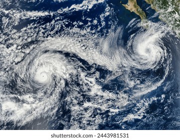
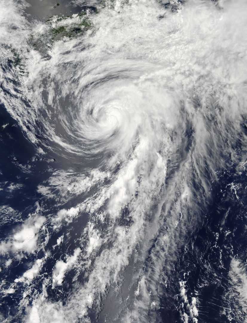
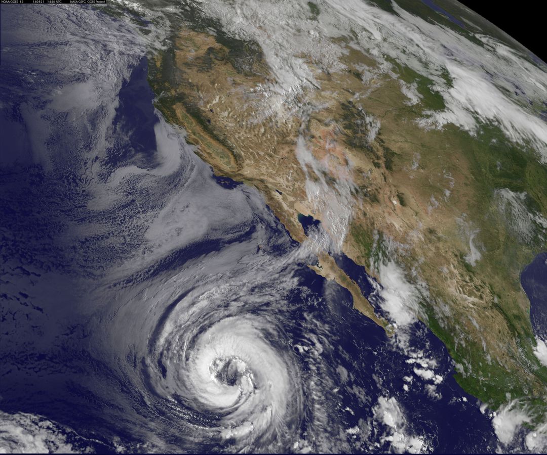
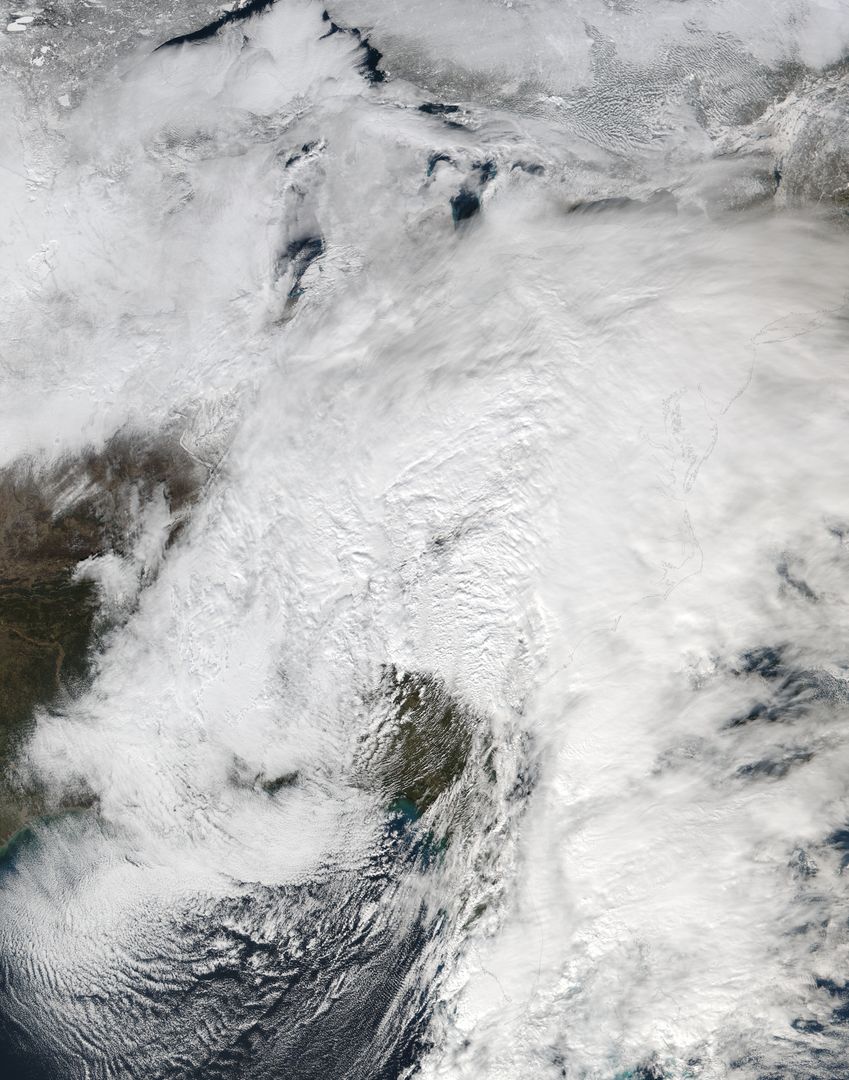
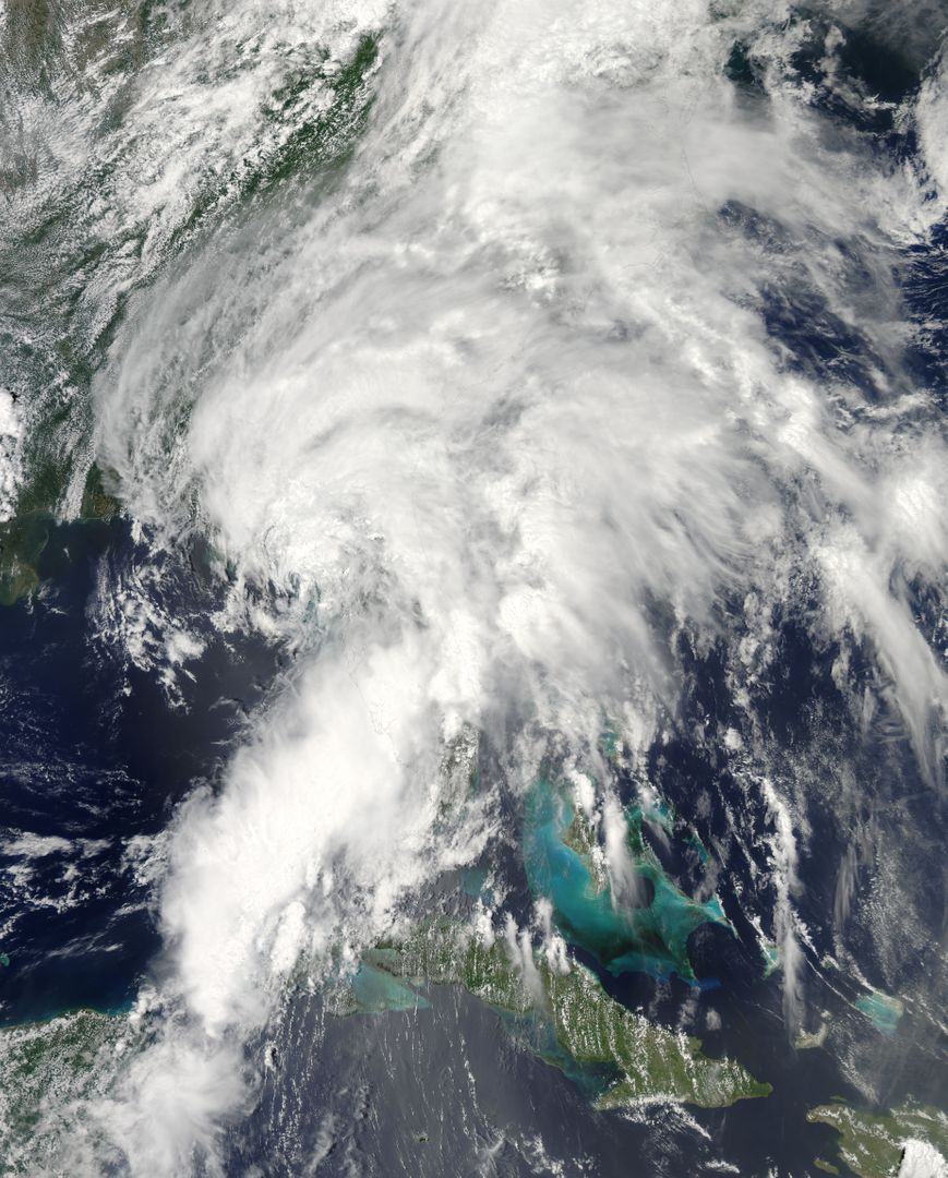
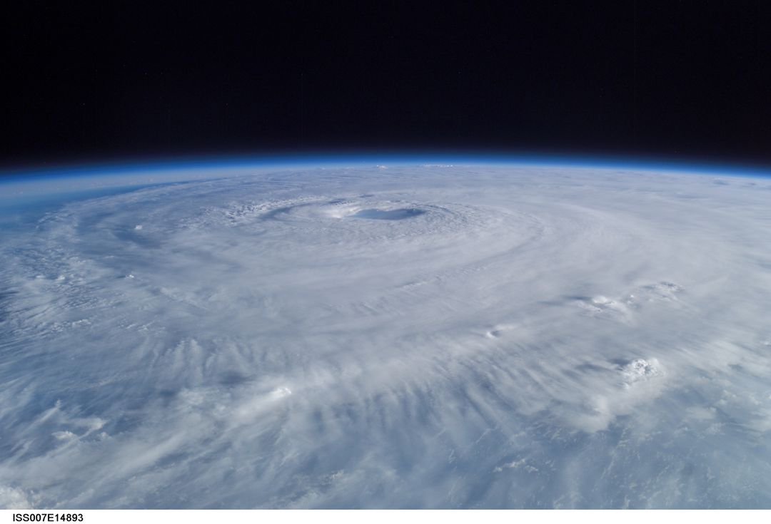
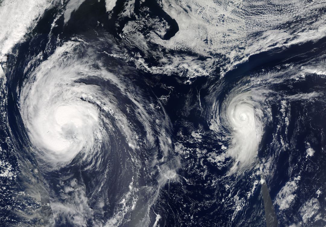
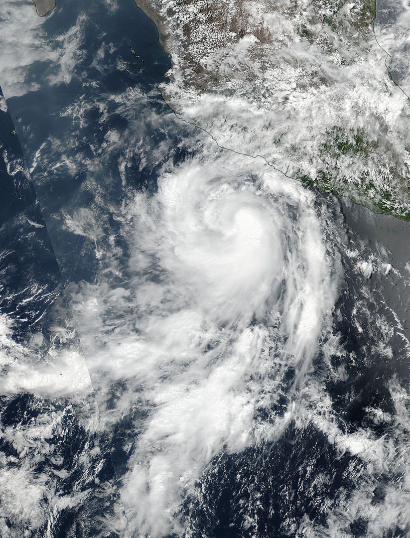
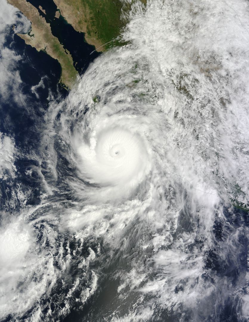
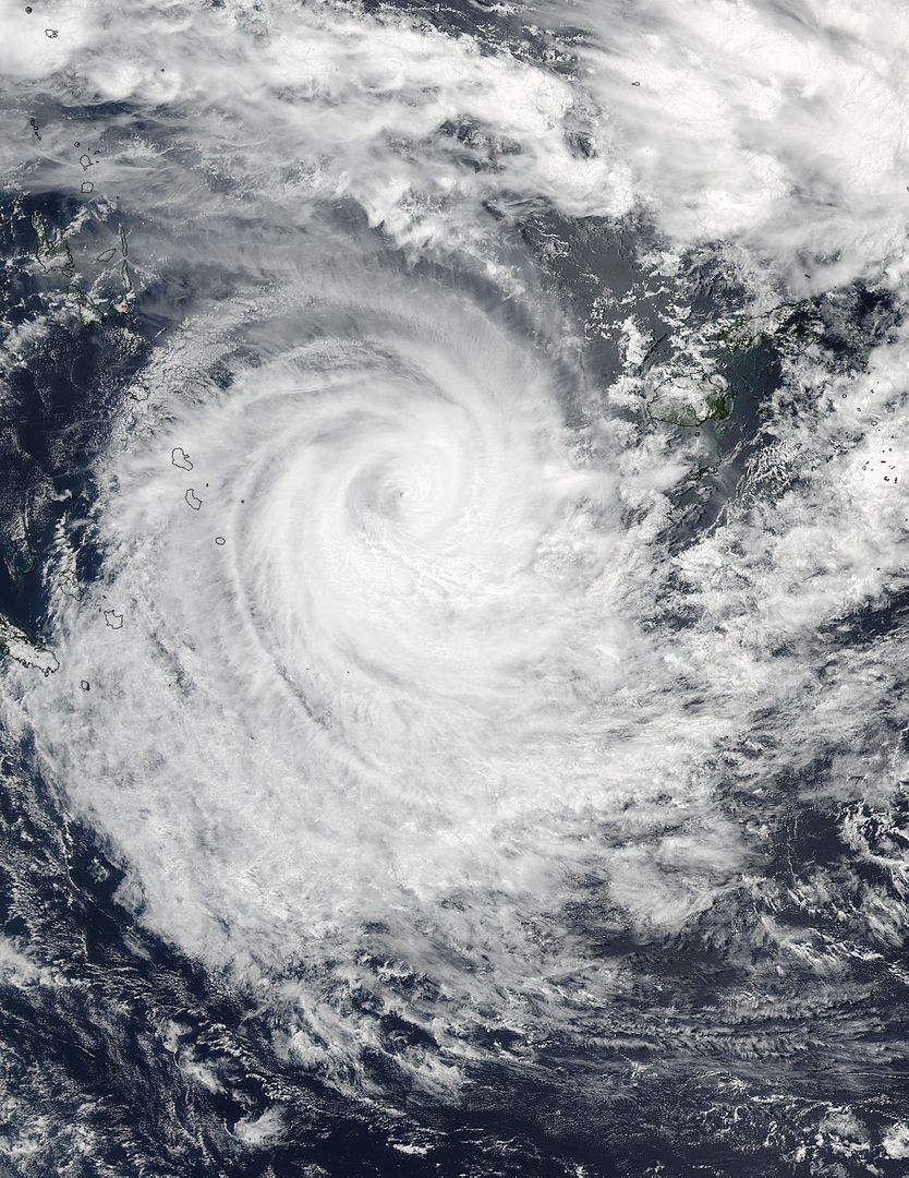
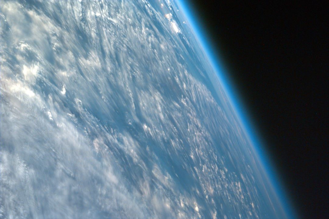
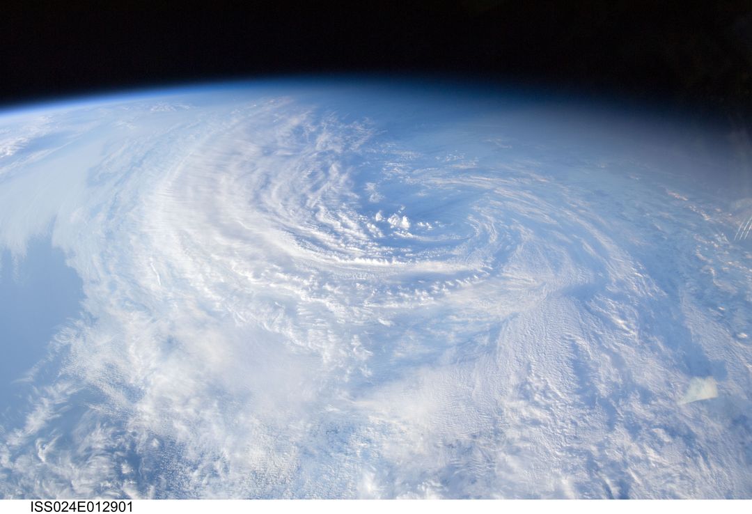
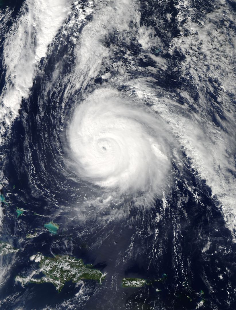
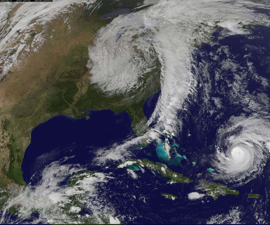
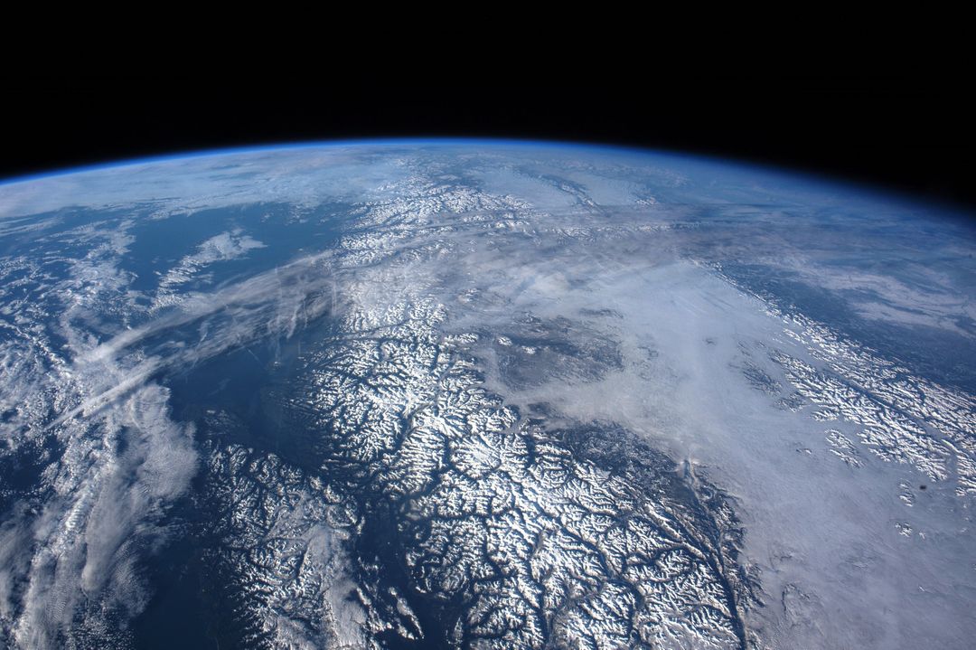
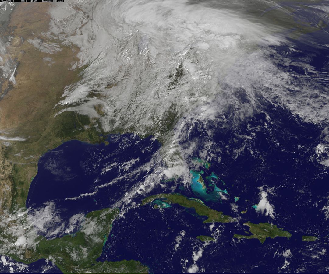
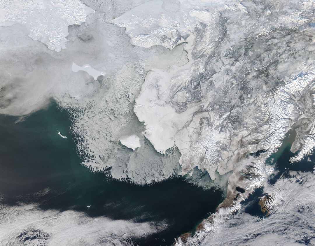
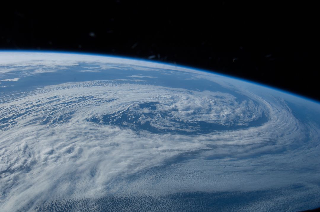
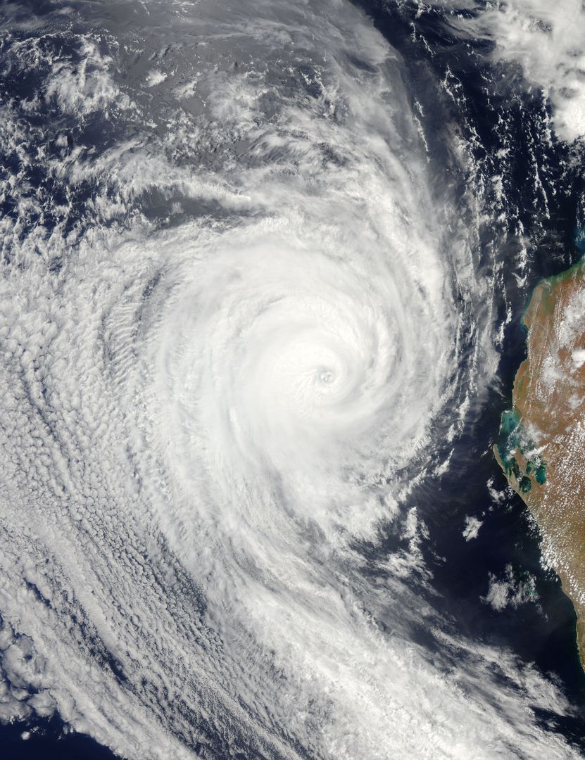
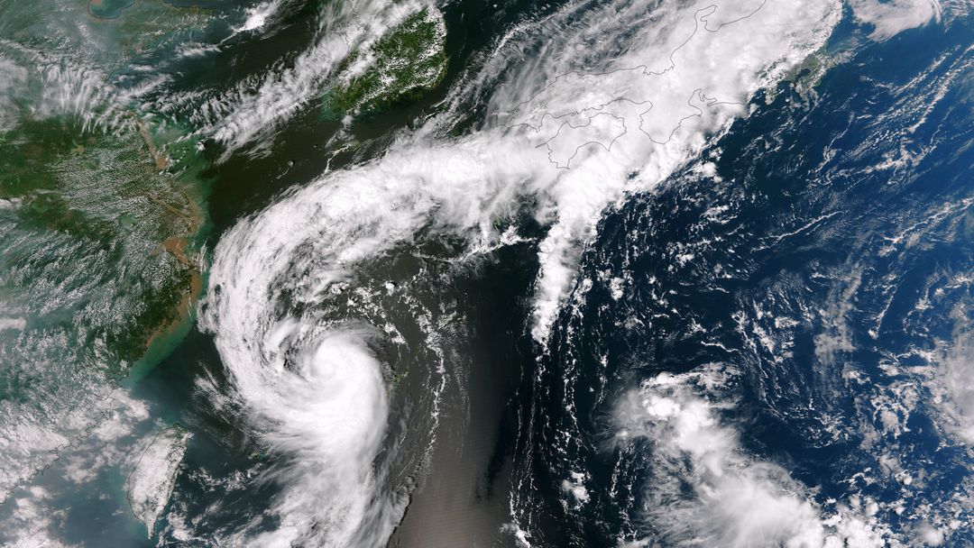
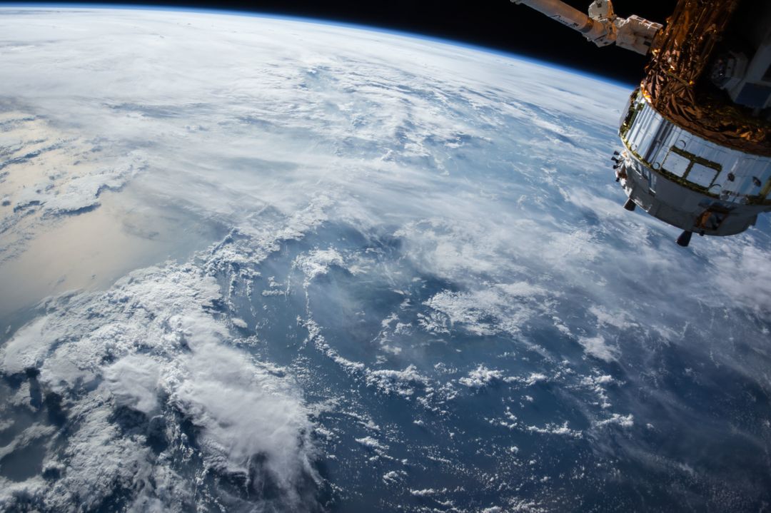
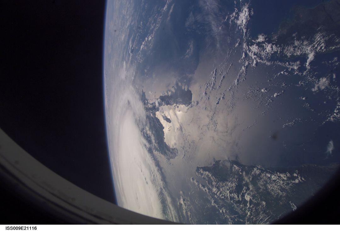
- Swirling Storm Systems Over Pacific Ocean Captured from Space
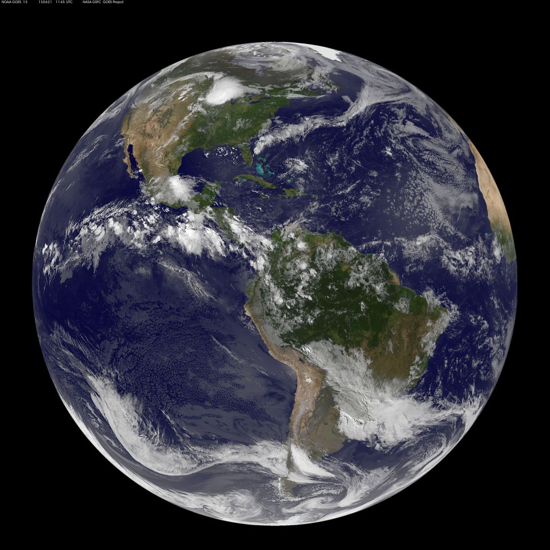
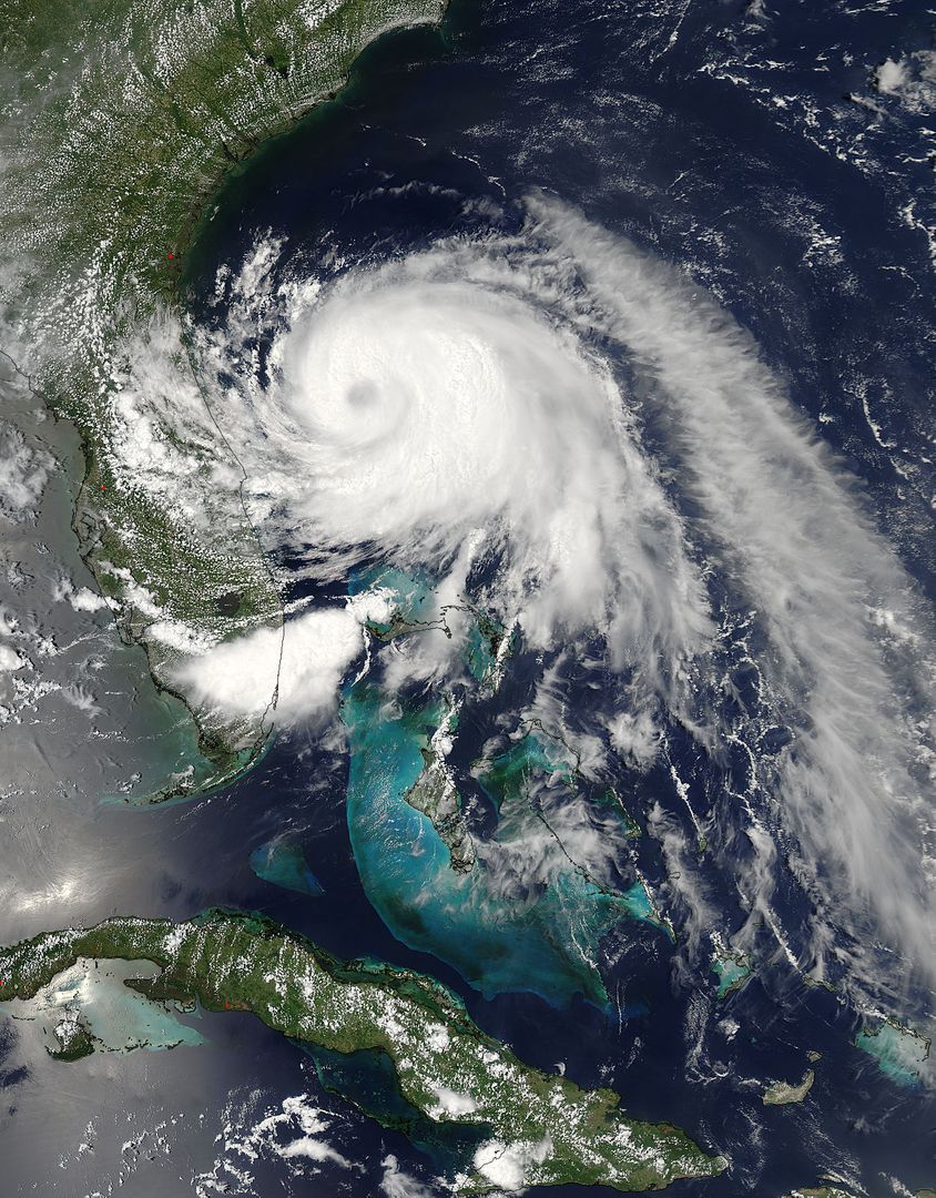
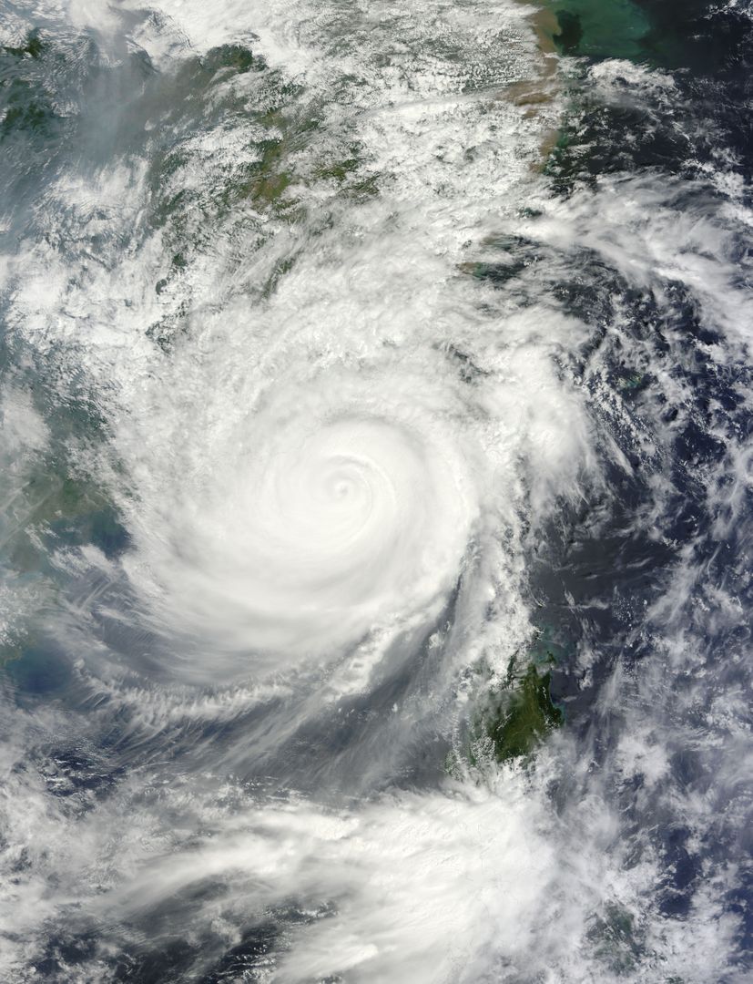
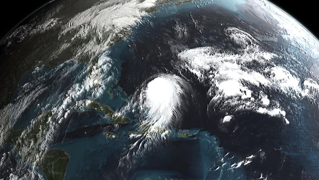
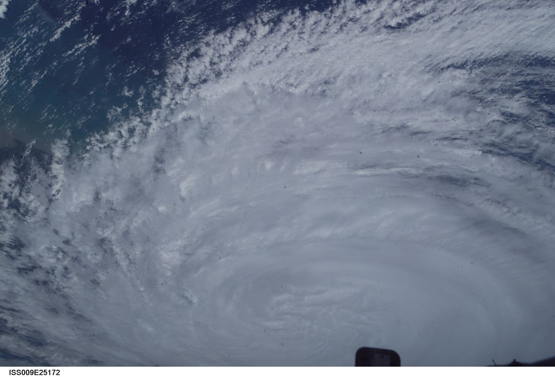
Swirling Storm Systems Over Pacific Ocean Captured from Space Image
Swirling storm systems converge over the Pacific Ocean in a breathtaking satellite image captured from space. This elaborate dance of clouds shows the intricate and powerful weather patterns that Earth generates. An invaluable asset for educational purposes in meteorology, environmental studies, and earth science presentations. Also great as visual support for businesses involved in climate studies, natural disaster preparation, or atmospheric research.
Powered by  - Get 15% off with code: PIKWIZARD15


Credit Photo
If you would like to credit the Photo, here are some ways you can do so
Text Link
photo Link
<span class="text-link">
<span>
<a target="_blank" href=https://pikwizard.com/photo/swirling-storm-systems-over-pacific-ocean-captured-from-space/ede7d8bade022effa37e29cd4b0f5db8/>PikWizard</a>
</span>
</span>
<span class="image-link">
<span
style="margin: 0 0 20px 0; display: inline-block; vertical-align: middle; width: 100%;"
>
<a
target="_blank"
href="https://pikwizard.com/photo/swirling-storm-systems-over-pacific-ocean-captured-from-space/ede7d8bade022effa37e29cd4b0f5db8/"
style="text-decoration: none; font-size: 10px; margin: 0;"
>
<img src="https://pikwizard.com/pw/medium/ede7d8bade022effa37e29cd4b0f5db8.jpg" style="margin: 0; width: 100%;" alt="" />
<p style="font-size: 12px; margin: 0;">PikWizard</p>
</a>
</span>
</span>
CC0 (Creative Commons Zero)
Free for personal and commercial use.
Similar Free Stock Images
Premium

Premium

Premium

Premium
Premium


Premium


Premium


Premium

Premium
Premium


Premium


Premium


Premium

Premium
Premium
Premium


Premium


Premium

Premium
Premium

Premium

Premium


Premium


Premium