
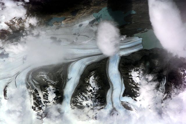
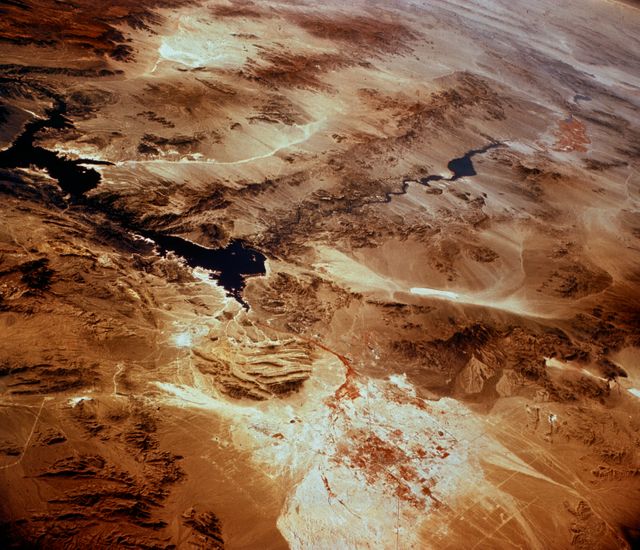
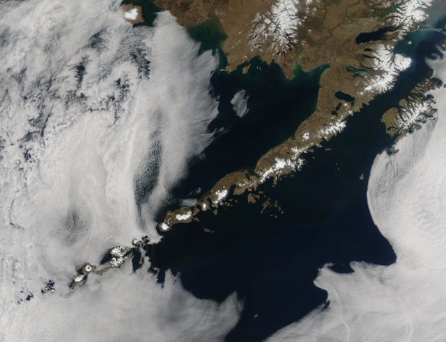
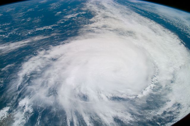
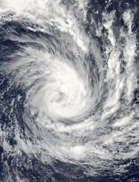
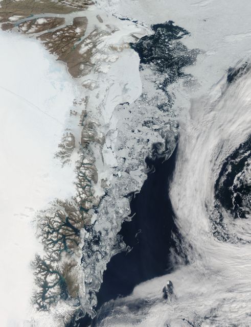
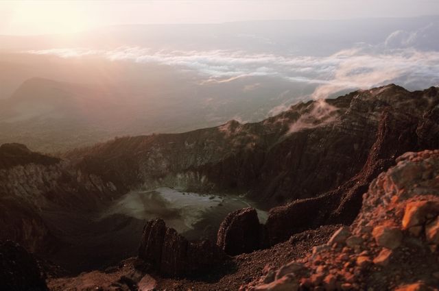
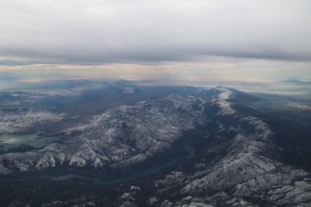
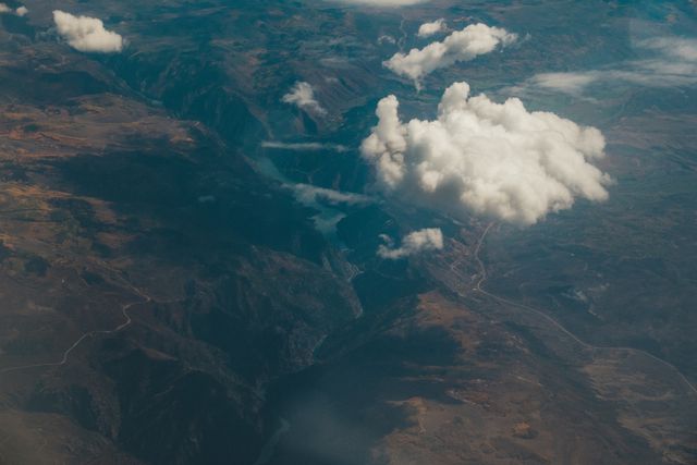
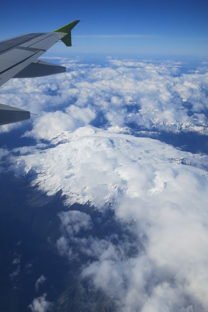
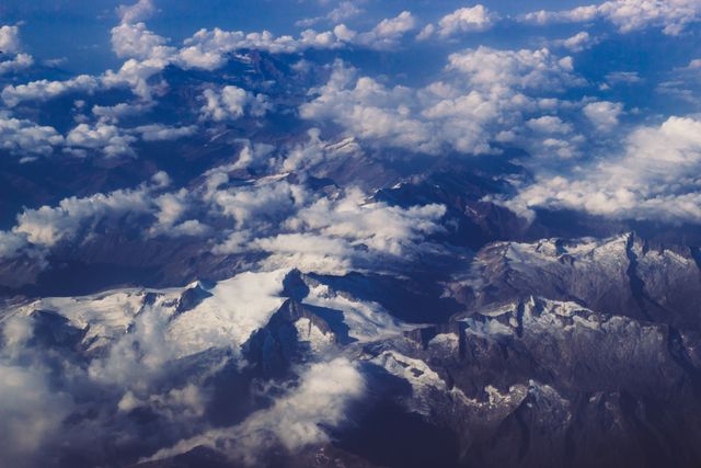
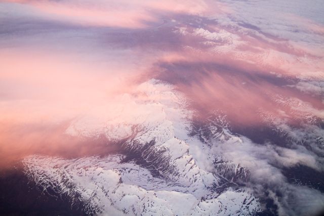
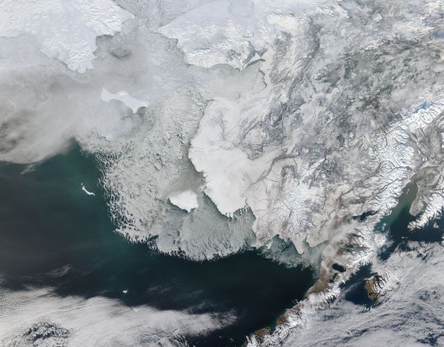
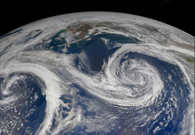
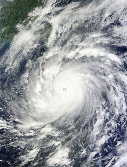
Aerial View of Tao-Rusyr Caldera and Krenitzyn Peak on Onekotan Island Image
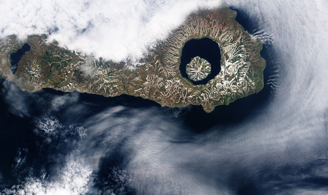
High-resolution aerial view of Tao-Rusyr Caldera on Onekotan Island, Kuril Islands. Displays volcanic remnants and Krenitzyn Peak along Pacific Ring of Fire. Useful for geospatial studies, volcanic research, and natural landscape projects. Ideal for educational content, geography reports, and satellite imagery collections.

9
downloads
downloads
Credit Photo
If you would like to credit the Photo, here are some ways you can do so
Text Link
photo Link
<span class="text-link">
<span>
<a target="_blank" href=https://pikwizard.com/photo/aerial-view-of-tao-rusyr-caldera-and-krenitzyn-peak-on-onekotan-island/241ba3258d1faa863141c36ad0dcbdd2/>PikWizard</a>
</span>
</span>
<span class="image-link">
<span
style="margin: 0 0 20px 0; display: inline-block; vertical-align: middle; width: 100%;"
>
<a
target="_blank"
href="https://pikwizard.com/photo/aerial-view-of-tao-rusyr-caldera-and-krenitzyn-peak-on-onekotan-island/241ba3258d1faa863141c36ad0dcbdd2/"
style="text-decoration: none; font-size: 10px; margin: 0;"
>
<img src="https://pikwizard.com/pw/medium/241ba3258d1faa863141c36ad0dcbdd2.jpg" style="margin: 0; width: 100%;" alt="" />
<p style="font-size: 12px; margin: 0;">PikWizard</p>
</a>
</span>
</span>
CC0 (Creative Commons Zero)
Free for personal and commercial use.
Author: nasa
Similar Images


AI
AI