
- Home >
- Stock Photos >
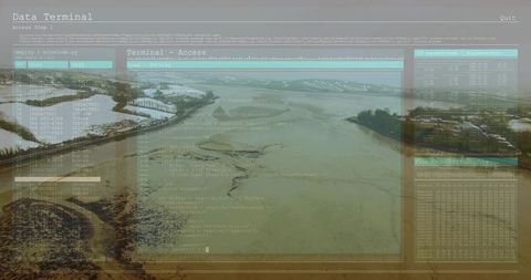
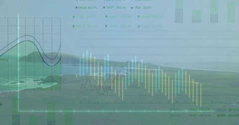
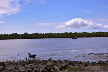
- Tidal River Aerial View with Dynamic Data Visualization Overlay
Tidal River Aerial View with Dynamic Data Visualization Overlay Image

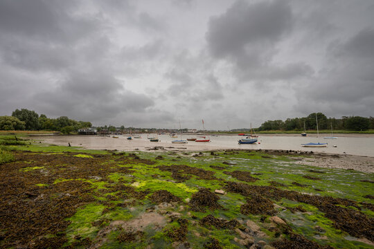
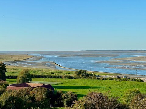
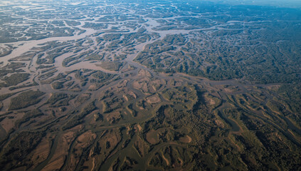
Aerial view showing winding tidal river channel during low tide over expansive estuary. Numeric charts and graphical data overlays depict environmental analytics enhancing understanding of marine geography and landscape impacts. Suitable for topics on environmental research, geography education, and geographic information systems.
Powered by 


downloads
Tags:
More
Credit Photo
If you would like to credit the Photo, here are some ways you can do so
Text Link
photo Link
<span class="text-link">
<span>
<a target="_blank" href=https://pikwizard.com/photo/tidal-river-aerial-view-with-dynamic-data-visualization-overlay/db200c306c3523fd241b4fd005ec7225/>PikWizard</a>
</span>
</span>
<span class="image-link">
<span
style="margin: 0 0 20px 0; display: inline-block; vertical-align: middle; width: 100%;"
>
<a
target="_blank"
href="https://pikwizard.com/photo/tidal-river-aerial-view-with-dynamic-data-visualization-overlay/db200c306c3523fd241b4fd005ec7225/"
style="text-decoration: none; font-size: 10px; margin: 0;"
>
<img src="https://pikwizard.com/pw/medium/db200c306c3523fd241b4fd005ec7225.jpg" style="margin: 0; width: 100%;" alt="" />
<p style="font-size: 12px; margin: 0;">PikWizard</p>
</a>
</span>
</span>
Free (free of charge)
Free for personal and commercial use.
Author: Awesome Content
Similar Free Stock Images

Premium

Premium


Premium


Premium


Premium


Premium


Premium


Premium

Premium


Premium


Premium


Premium


Premium


Premium

Premium


Premium


Premium


Premium


Premium


Premium


Premium


Premium


Premium
Premium


Premium


Explore More Free Stock Images