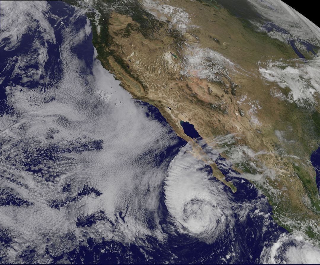
Tropical Storm Miriam Off Baja California Captured by NOAA's GOES-15 Satellite Image

Satellite image showing Tropical Storm Miriam near Baja California captured by NOAA's GOES-15 satellite on September 26, 2012. Image displays swirling cloud formations and stratocumulus clouds surrounding the storm. Due to high southwesterly wind shear, storm begins to weaken with reducing wind speeds. Can be used in meteorological studies, weather forecasting reports, climate change research, or educational materials about natural disasters.
downloads
Credit Photo
If you would like to credit the Photo, here are some ways you can do so
CC0 (Creative Commons Zero)
Free for personal and commercial use.


