- Home >
- Stock Photos >
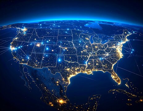
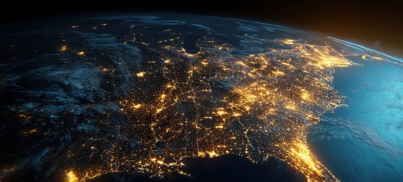
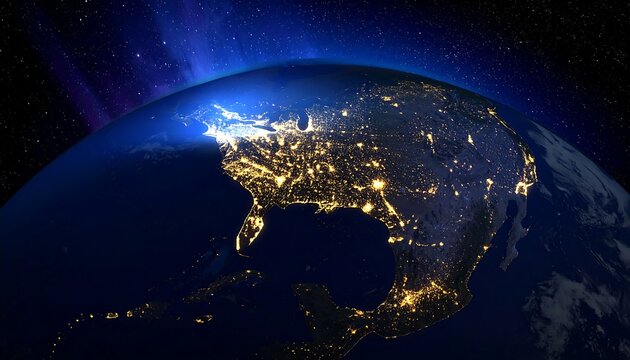
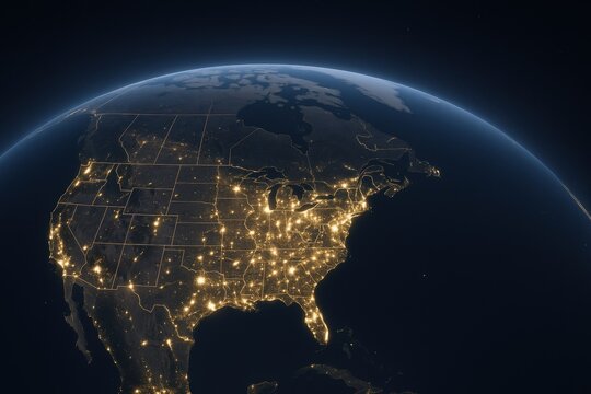
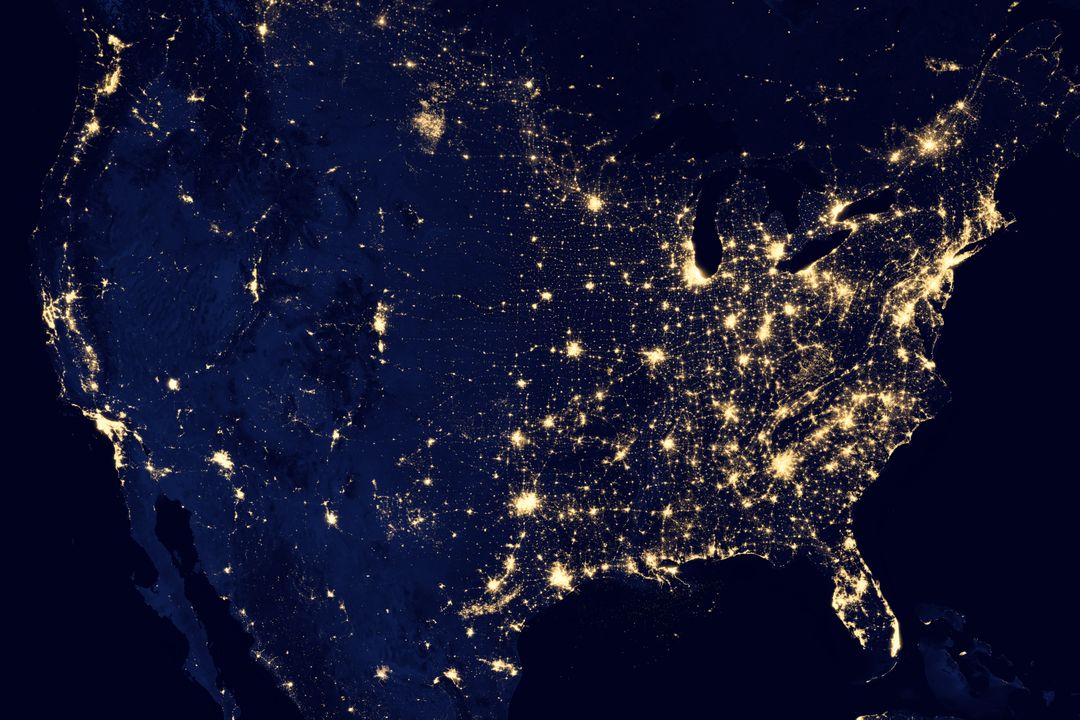
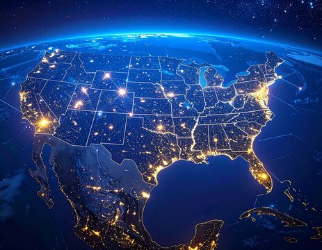
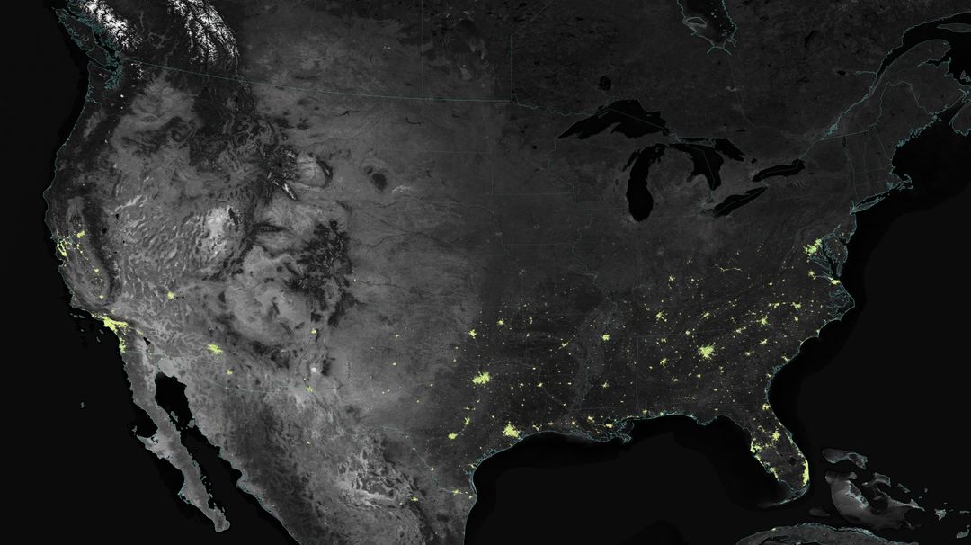
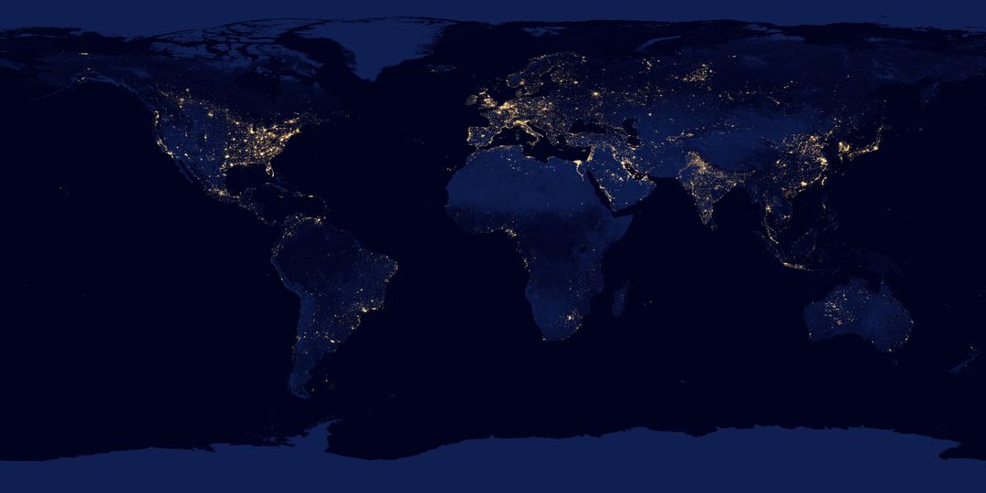
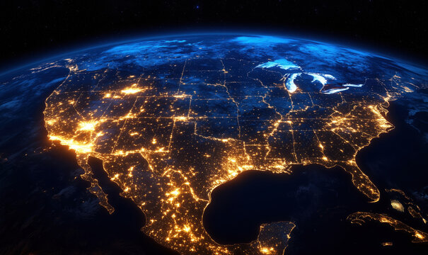
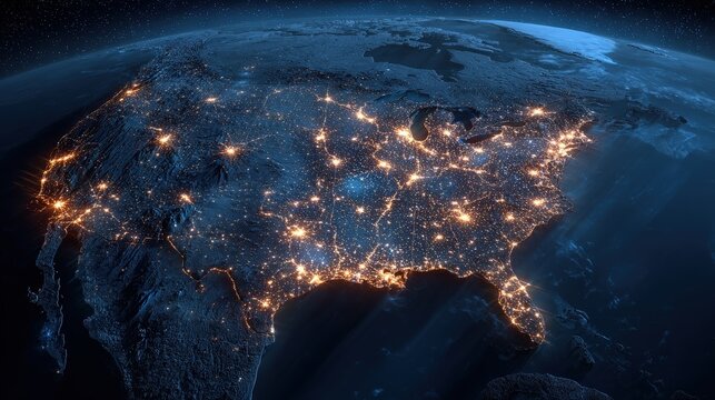
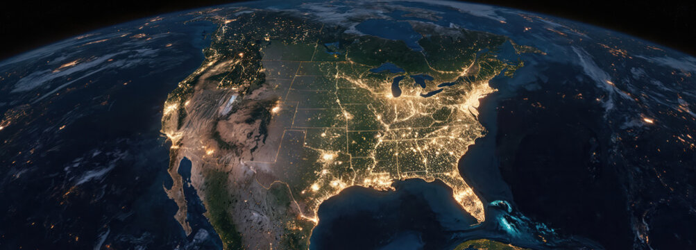
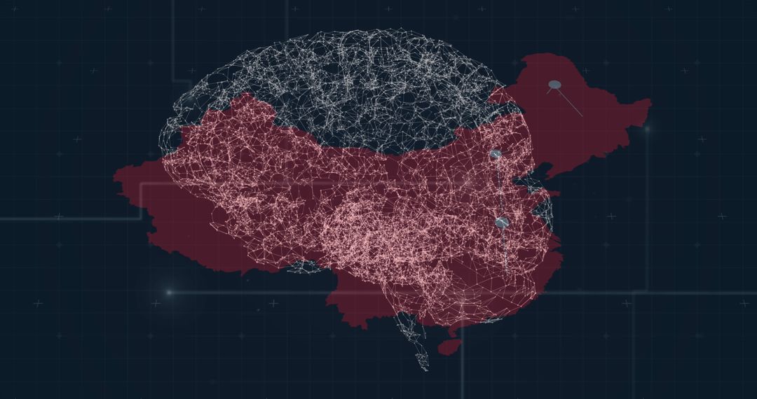
- United States Nighttime Earth View With City Lights from Space
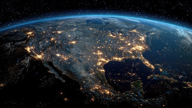
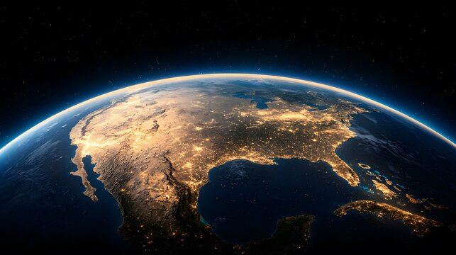
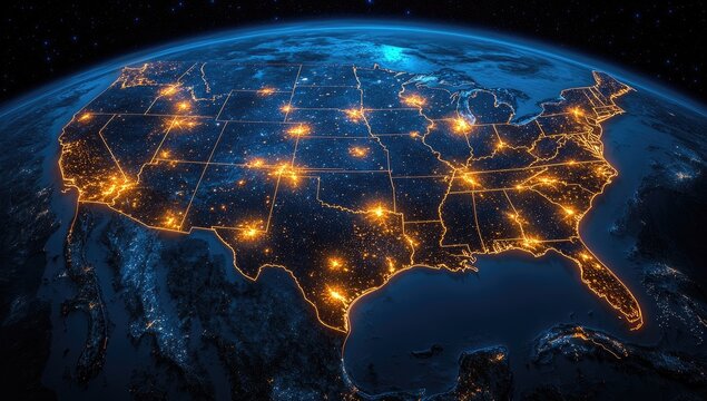
United States Nighttime Earth View With City Lights from Space Image

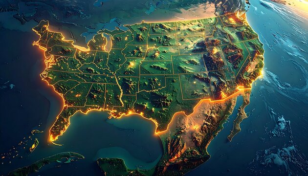
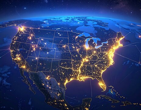
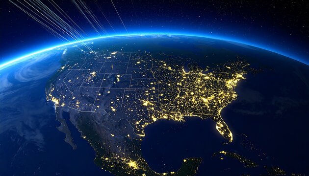
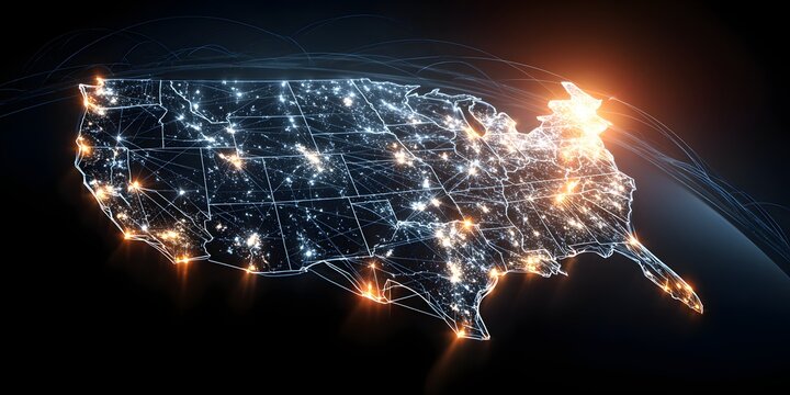
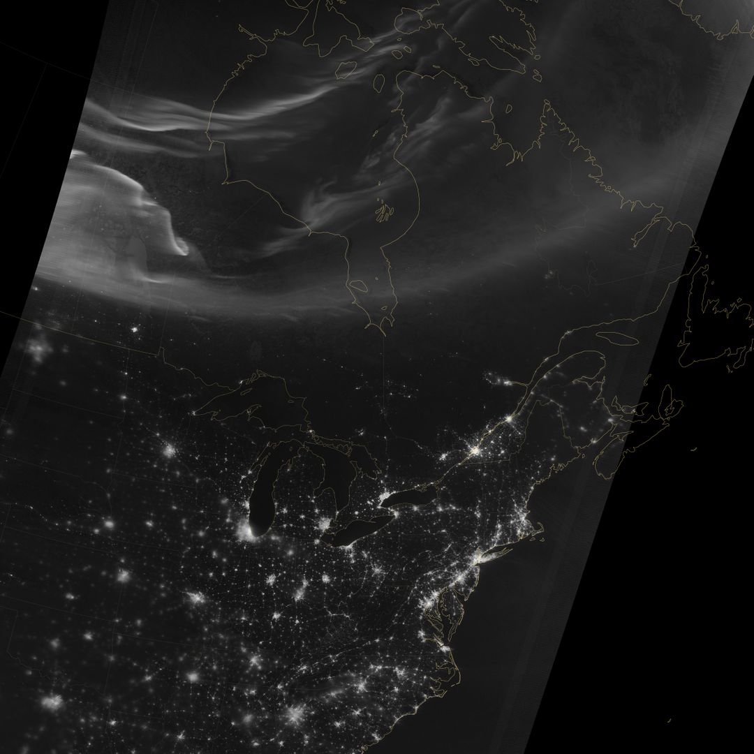
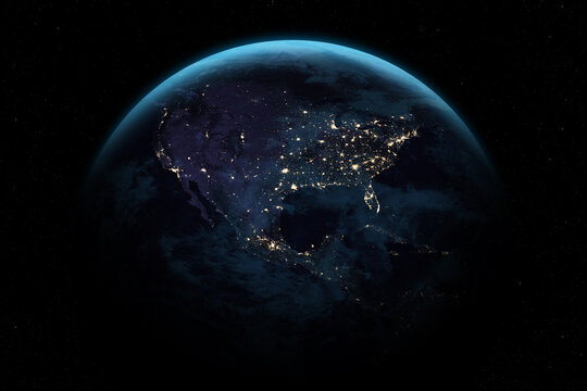
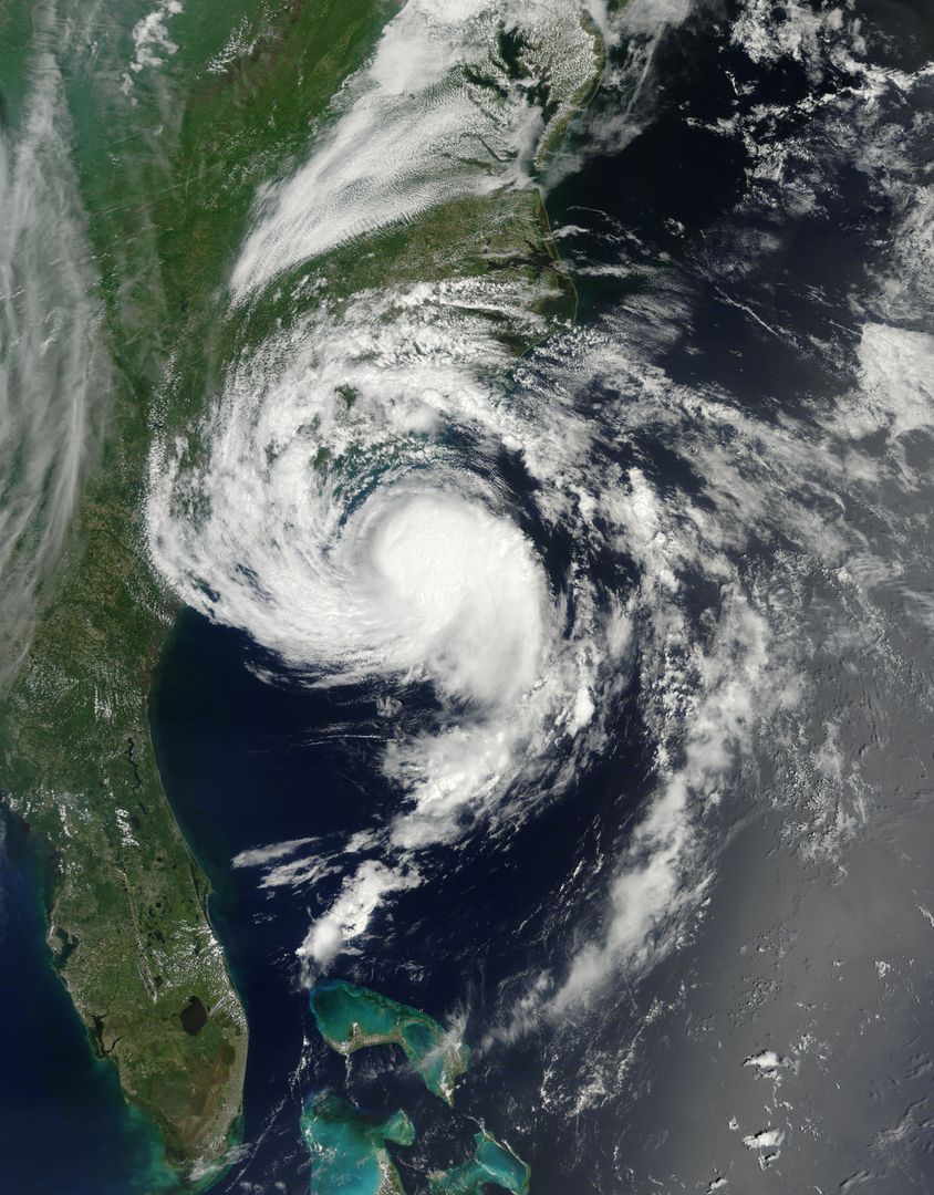
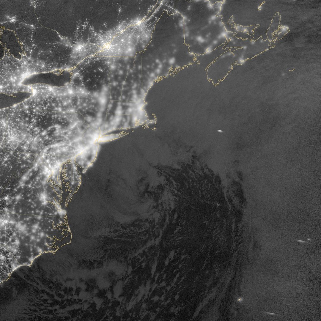
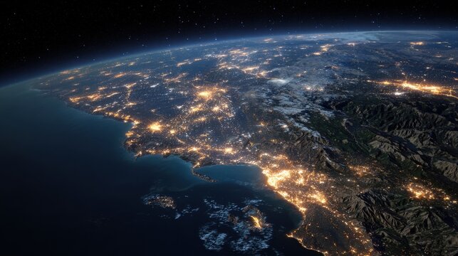
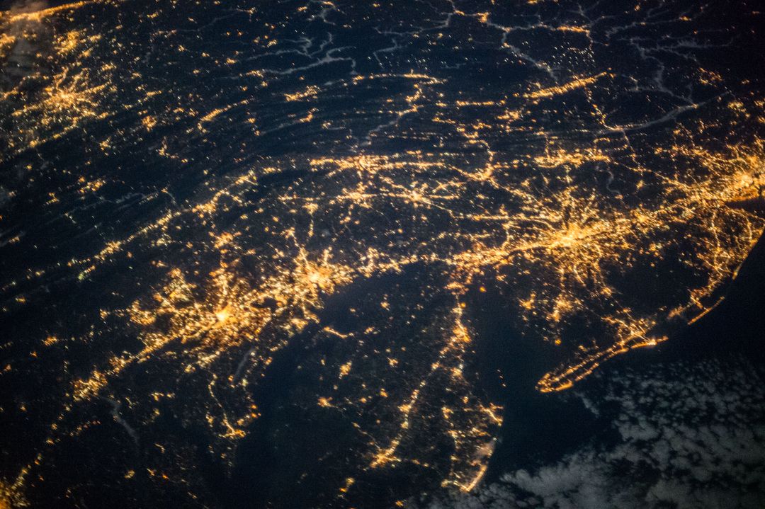
Glowing city lights of the United States highlight urban areas visible from space at night, showing dense population centers and geographical spread. Useful for materials on urbanization, geography, and astronomical studies. Valuable for technology, infrastructure planning, educational purposes, and visualizing human settlements.
Powered by 


Credit Photo
If you would like to credit the Photo, here are some ways you can do so
Text Link
photo Link
<span class="text-link">
<span>
<a target="_blank" href=https://pikwizard.com/photo/united-states-nighttime-earth-view-with-city-lights-from-space/2e14a6741cfcfca4c7d0776afee4a4e1/>PikWizard</a>
</span>
</span>
<span class="image-link">
<span
style="margin: 0 0 20px 0; display: inline-block; vertical-align: middle; width: 100%;"
>
<a
target="_blank"
href="https://pikwizard.com/photo/united-states-nighttime-earth-view-with-city-lights-from-space/2e14a6741cfcfca4c7d0776afee4a4e1/"
style="text-decoration: none; font-size: 10px; margin: 0;"
>
<img src="https://pikwizard.com/pw/medium/2e14a6741cfcfca4c7d0776afee4a4e1.jpg" style="margin: 0; width: 100%;" alt="" />
<p style="font-size: 12px; margin: 0;">PikWizard</p>
</a>
</span>
</span>
CC0 (Creative Commons Zero)
Free for personal and commercial use.
Similar Free Stock Images
Premium

Premium
Premium

Premium


Premium


Premium


Premium
Premium

Premium

Premium


Premium


Premium


Premium

Premium

Premium


Premium


Premium


Premium


Premium

Premium
Premium


Premium


Premium


Premium