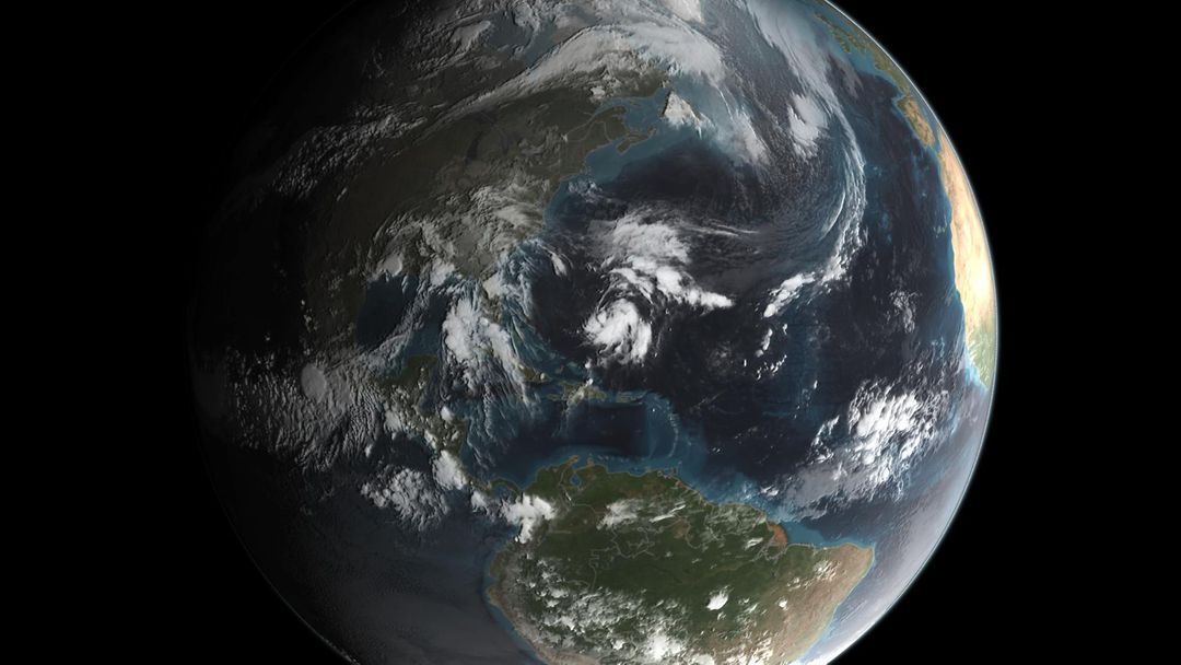
View of Earth Captured by NASA GPM Satellite During Hurricane Joaquin Image

This image depicts a view of Earth captured by NASA's GPM satellite, showing Hurricane Joaquin as it forms. The clear view of the planet highlights the hurricane activity, which could impact the US East Coast. It is suitable for educational materials regarding space, weather patterns, earth science, and could be an excellent resource for news articles, research publications, and science presentations.
downloads
Credit Photo
If you would like to credit the Photo, here are some ways you can do so
CC0 (Creative Commons Zero)
Free for personal and commercial use.


