
- Home >
- Stock Photos >
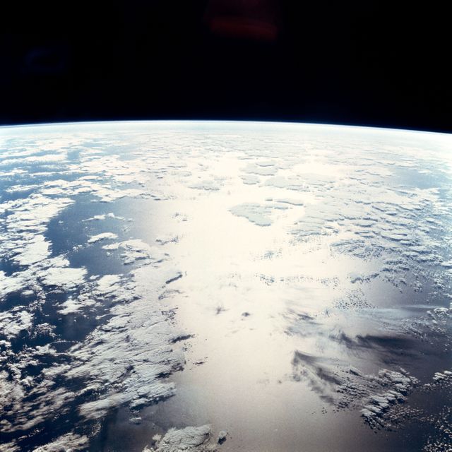
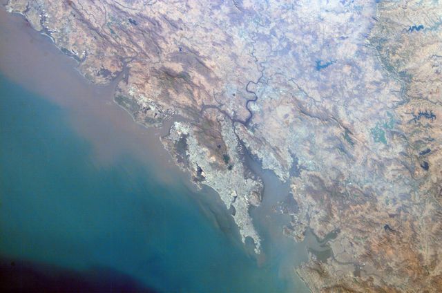
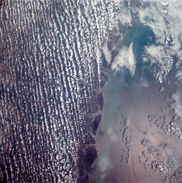
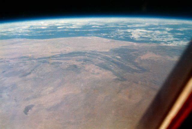
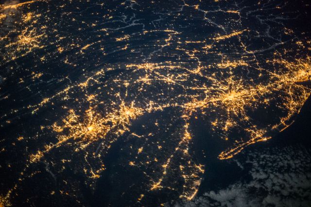
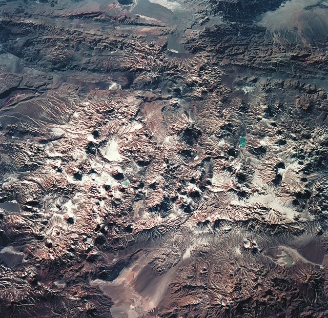
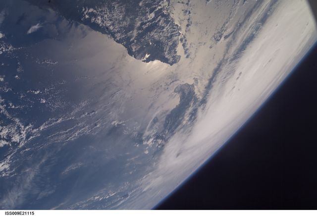
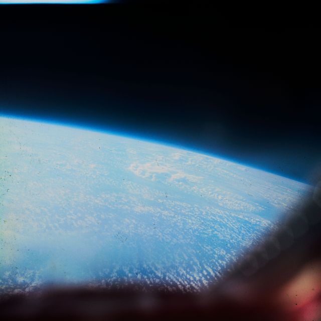
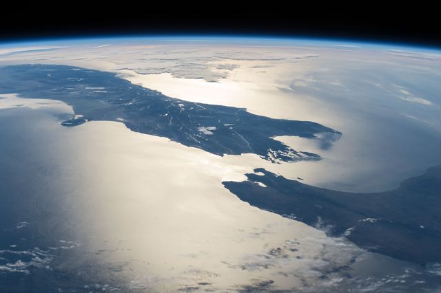
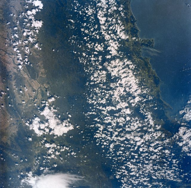
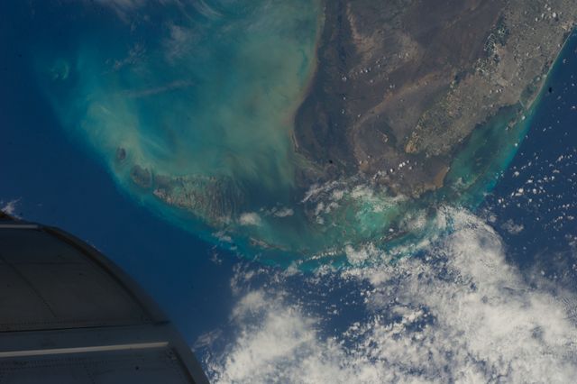
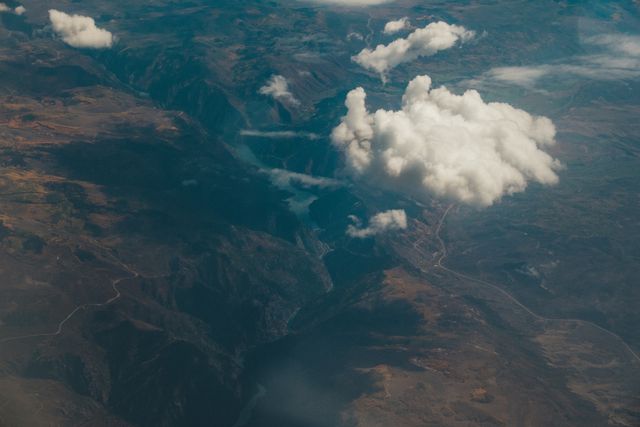
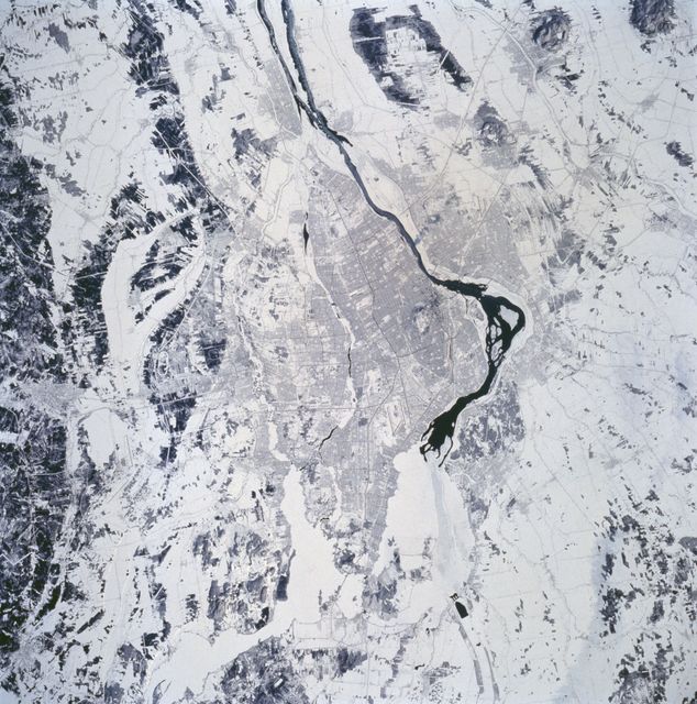
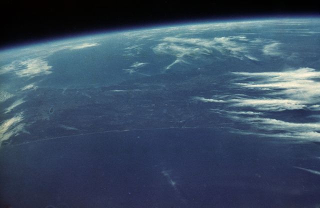
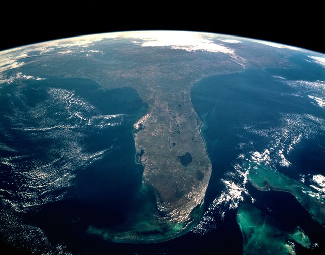
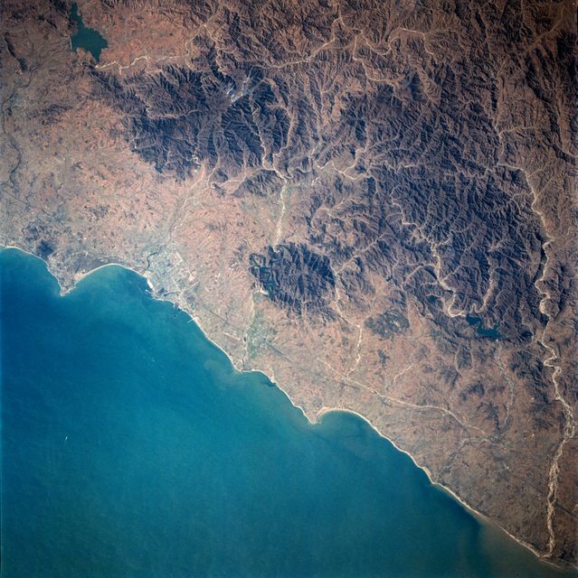
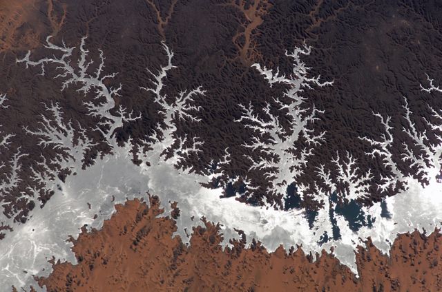
- View of Greater New Orleans from Apollo 7 at 95 Nautical Miles Altitude
View of Greater New Orleans from Apollo 7 at 95 Nautical Miles Altitude Image
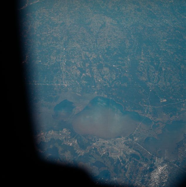
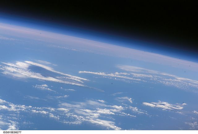
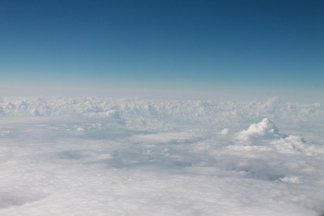
The image depicts a top view of the greater New Orleans area, including areas of Louisiana and Mississippi, captured from 95 nautical miles above earth during Apollo 7's 120th revolution. The Mississippi River and Lake Pontchartrain are notable landmarks visible in the photo. The complex network of highways, including a 25-mile causeway across the lake, is clearly depicted. Ideal for educational use in geography and space exploration topics, as well as exhibitions or articles focused on space missions, earth observation, and urban planning.
Powered by  - Get 15% off with code: PIKWIZARD15


Credit Photo
If you would like to credit the Photo, here are some ways you can do so
Text Link
photo Link
<span class="text-link">
<span>
<a target="_blank" href=https://pikwizard.com/photo/view-of-greater-new-orleans-from-apollo-7-at-95-nautical-miles-altitude/282a659502563c399f377a409e2832bb/>PikWizard</a>
</span>
</span>
<span class="image-link">
<span
style="margin: 0 0 20px 0; display: inline-block; vertical-align: middle; width: 100%;"
>
<a
target="_blank"
href="https://pikwizard.com/photo/view-of-greater-new-orleans-from-apollo-7-at-95-nautical-miles-altitude/282a659502563c399f377a409e2832bb/"
style="text-decoration: none; font-size: 10px; margin: 0;"
>
<img src="https://pikwizard.com/pw/medium/282a659502563c399f377a409e2832bb.jpg" style="margin: 0; width: 100%;" alt="" />
<p style="font-size: 12px; margin: 0;">PikWizard</p>
</a>
</span>
</span>
CC0 (Creative Commons Zero)
Free for personal and commercial use.
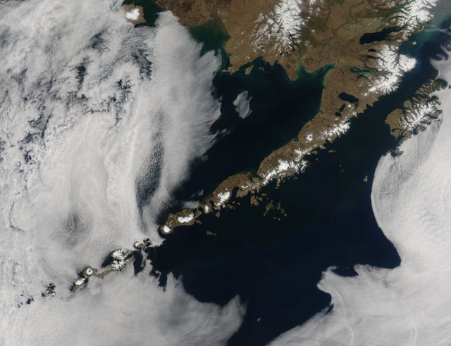
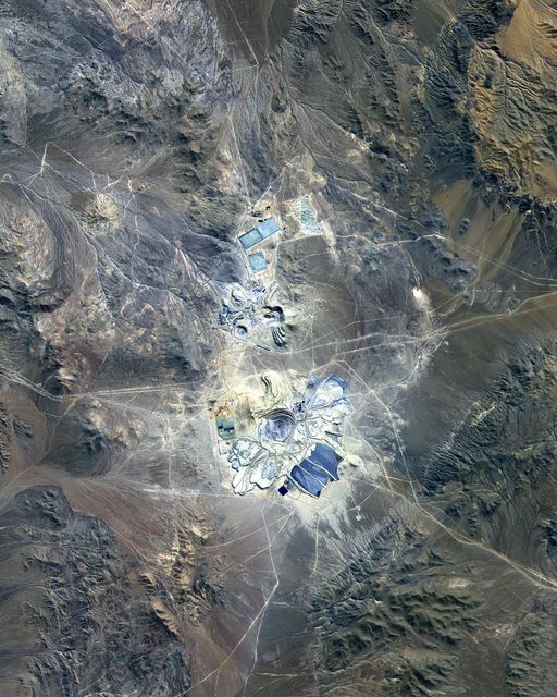
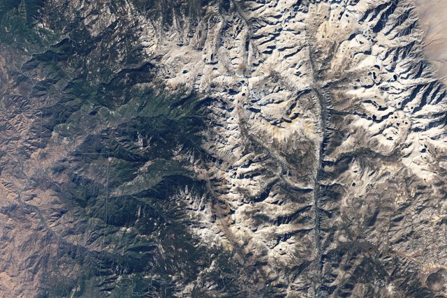
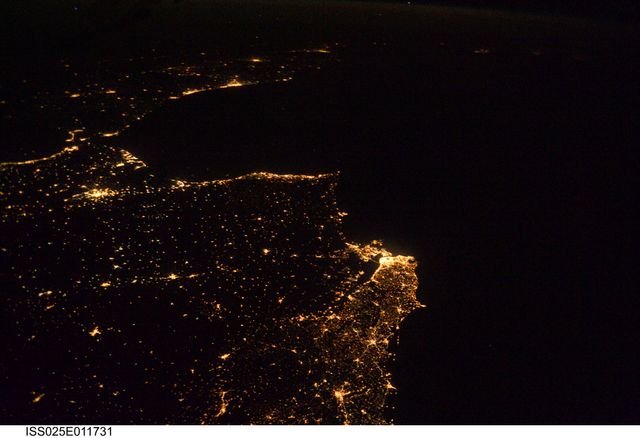
Similar Free Stock Images
Premium

Premium

Premium

Premium

Premium

Premium
Premium

Premium

Premium

Premium


Premium


Premium

Premium

Premium

Premium
Premium

Premium
Premium

Premium

Premium
Premium

Premium

Premium


Premium

Premium

