
- Home >
- Stock Photos >
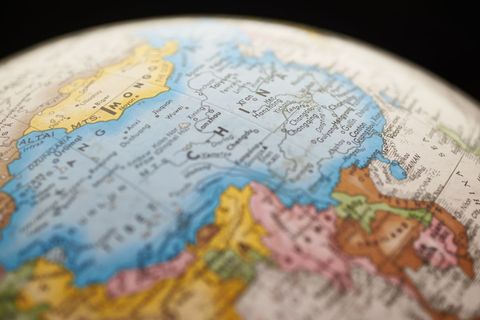
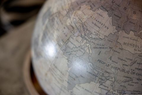
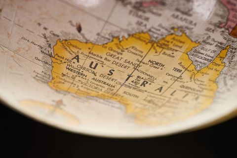
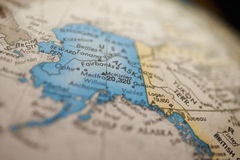
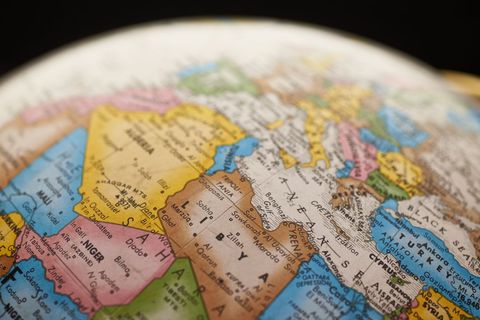
- Vintage globe featuring Southeast Asia close-up with brass meridian and muted map tones
Vintage globe featuring Southeast Asia close-up with brass meridian and muted map tones Image
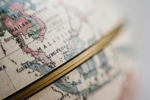
Close-up vintage globe focusing on Southeast Asia, highlighting Malaysia, Singapore, Indonesia and surrounding islands. Warm muted colors and brass meridian adding antique look and tactile paper texture. Shallow depth of field creating soft blurred background and emphasizing printed map detail. Ideal for travel blog headers, historical articles, classroom or educational materials, brochure covers, website hero backgrounds, editorial features on geopolitics or cultural tourism. Working well with layered text overlays and vintage color palettes for marketing, web design and print layouts.
Powered by  - Get 15% off with code: PIKWIZARD15


Credit Photo
If you would like to credit the Photo, here are some ways you can do so
Text Link
photo Link
<span class="text-link">
<span>
<a target="_blank" href=https://pikwizard.com/photo/vintage-globe-featuring-southeast-asia-close-up-with-brass-meridian-and-muted-map-tones/f2bf6ac5244e297e89ae975c7ef30351/>PikWizard</a>
</span>
</span>
<span class="image-link">
<span
style="margin: 0 0 20px 0; display: inline-block; vertical-align: middle; width: 100%;"
>
<a
target="_blank"
href="https://pikwizard.com/photo/vintage-globe-featuring-southeast-asia-close-up-with-brass-meridian-and-muted-map-tones/f2bf6ac5244e297e89ae975c7ef30351/"
style="text-decoration: none; font-size: 10px; margin: 0;"
>
<img src="https://pikwizard.com/pw/medium/f2bf6ac5244e297e89ae975c7ef30351.jpg" style="margin: 0; width: 100%;" alt="" />
<p style="font-size: 12px; margin: 0;">PikWizard</p>
</a>
</span>
</span>
CC0 (Creative Commons Zero)
Free for personal and commercial use.
Similar Free Stock Images
Loading...
Premium


Premium


Premium


Premium

Premium

Premium


Premium


Premium


Premium


Premium


Premium


Premium

Premium

Premium


Premium


Premium


Premium


Premium


Premium


Premium


Premium


Premium


Premium


Premium


Premium
