- Home >
- Stock Photos >
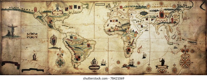
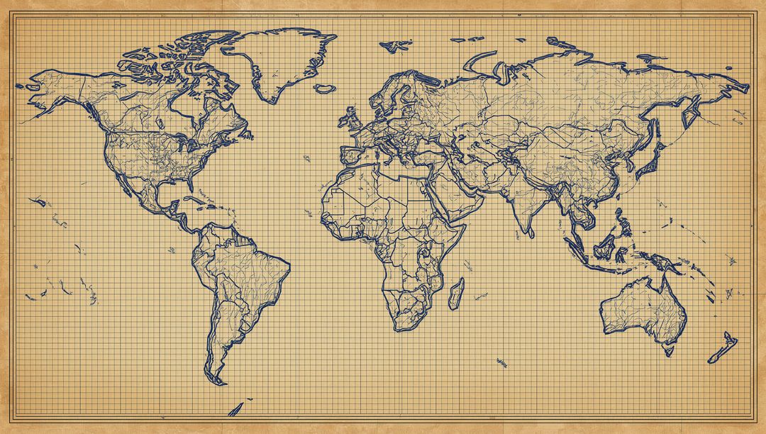
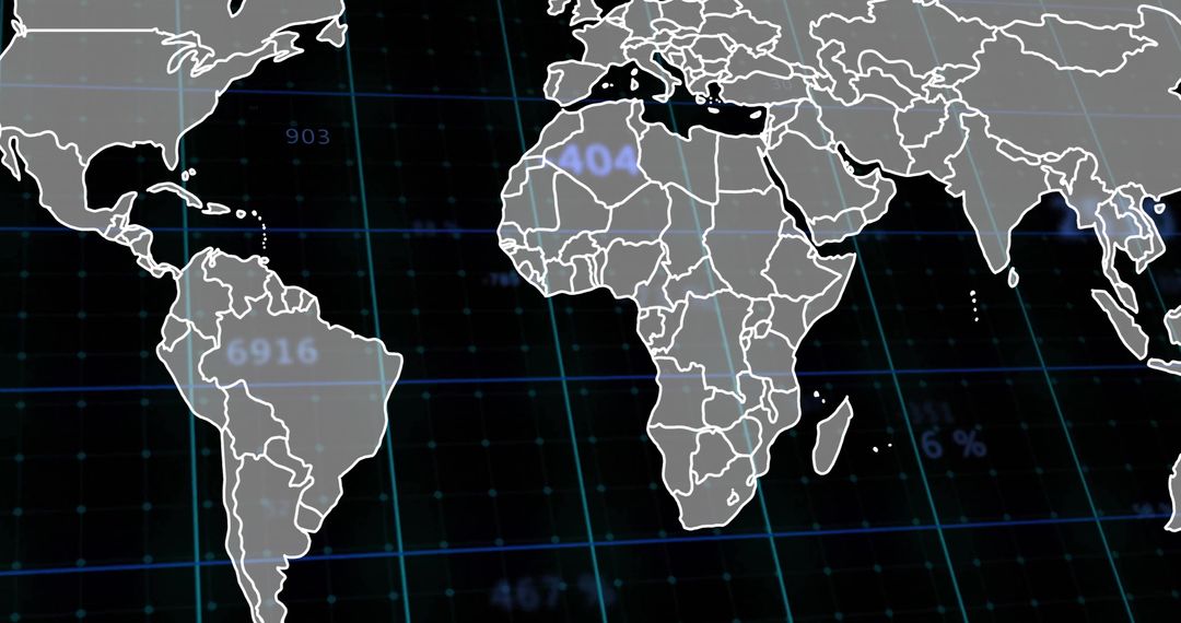
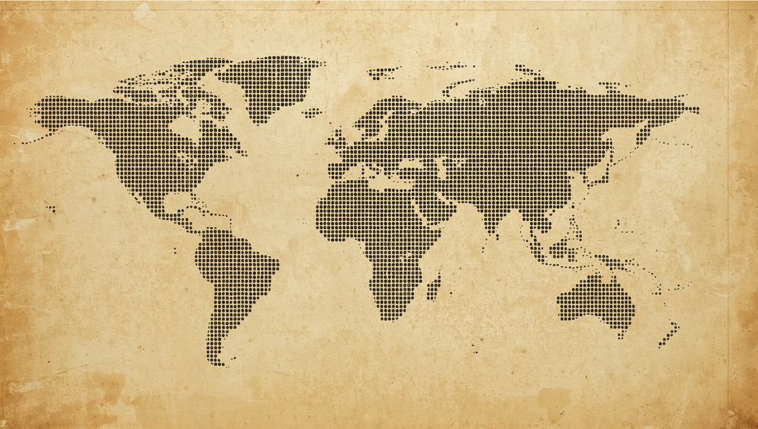
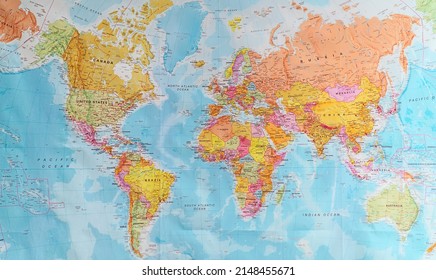
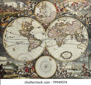
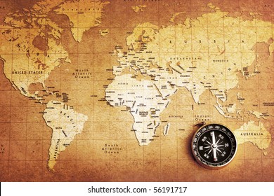
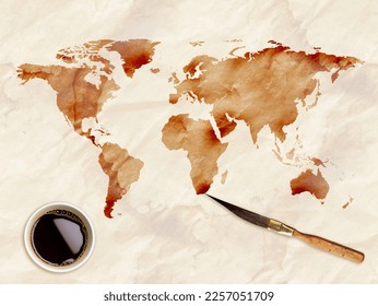
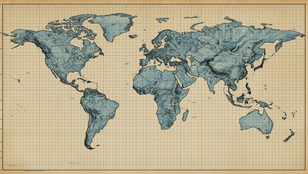
- Vintage Style World Map with Unique Swirling Patterns
Vintage Style World Map with Unique Swirling Patterns Image
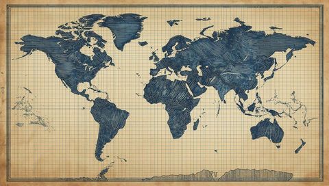
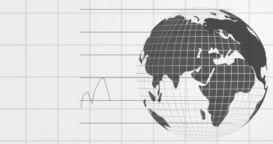
AI Generated Image. Antique-style world map features swirling patterns with gridlines on aged parchment. Ideal for educational materials in schools illustrating geography lessons with an artistic flair. Suitable for use in interior decoration, providing a vintage touch to offices or living spaces. Effective as an illustrative element in animations or presentations related to map history or exploration. Also a perfect addition to brochures or websites focusing on adventure tours and travel, emphasizing heritage and information.
Powered by  - Get 15% off with code: PIKWIZARD15


0
downloads
downloads
Tags:
More
Credit Photo
If you would like to credit the Photo, here are some ways you can do so
Text Link
photo Link
<span class="text-link">
<span>
<a target="_blank" href=https://pikwizard.com/photo/vintage-style-world-map-with-unique-swirling-patterns/5d0d08d170f7530fb4dbe60de51cda4a/>PikWizard</a>
</span>
</span>
<span class="image-link">
<span
style="margin: 0 0 20px 0; display: inline-block; vertical-align: middle; width: 100%;"
>
<a
target="_blank"
href="https://pikwizard.com/photo/vintage-style-world-map-with-unique-swirling-patterns/5d0d08d170f7530fb4dbe60de51cda4a/"
style="text-decoration: none; font-size: 10px; margin: 0;"
>
<img src="https://pikwizard.com/pw/medium/5d0d08d170f7530fb4dbe60de51cda4a.jpg" style="margin: 0; width: 100%;" alt="" />
<p style="font-size: 12px; margin: 0;">PikWizard</p>
</a>
</span>
</span>
Free (free of charge)
Free for personal and commercial use.
Author: AI Creator
Similar Free Stock Images
Premium


Premium


Premium


Premium


Premium


Premium


Premium


Premium


Premium


Premium


Premium
Premium


Premium


Premium


Premium


Premium


Premium


Premium


Premium


Premium


Premium


Premium


Premium


Premium