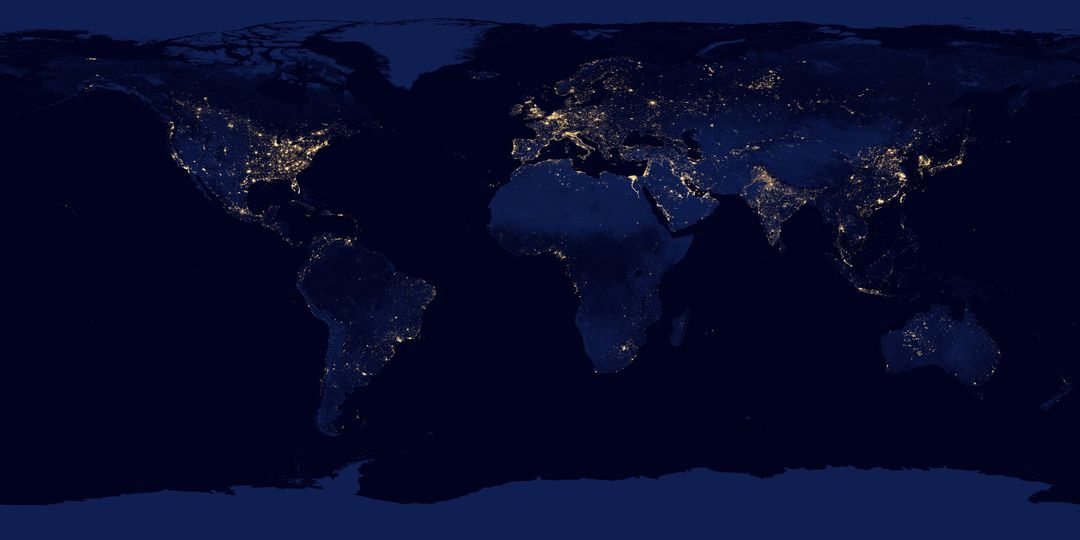
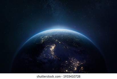
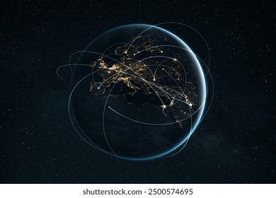
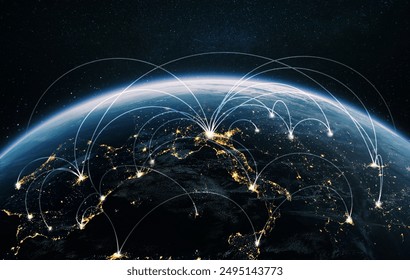
World Map at Night with City Lights Illuminating Image

Map of the world shown at night with city lights illuminating regions of high population density. Useful for educational purposes, illustrating global urbanization and population distribution, and geography projects. Can be used in presentations, travel planning, and environmental studies.
downloads
Credit Photo
If you would like to credit the Photo, here are some ways you can do so
CC0 (Creative Commons Zero)
Free for personal and commercial use.


