
- Home >
- Stock Templates >
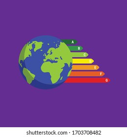
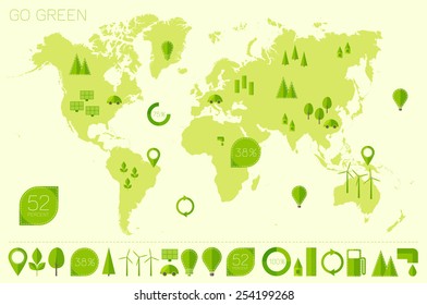
- Color-Coded World Map with Energy Efficiency Ratings
Color-Coded World Map with Energy Efficiency Ratings Template
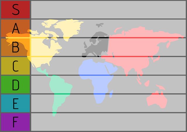
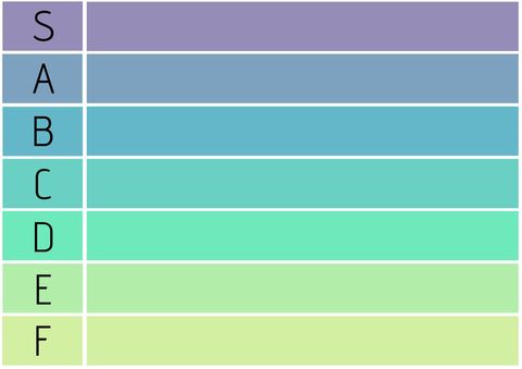
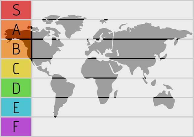
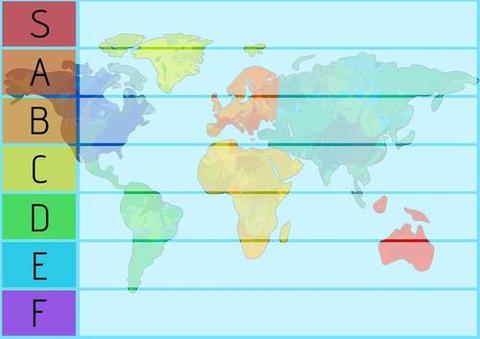
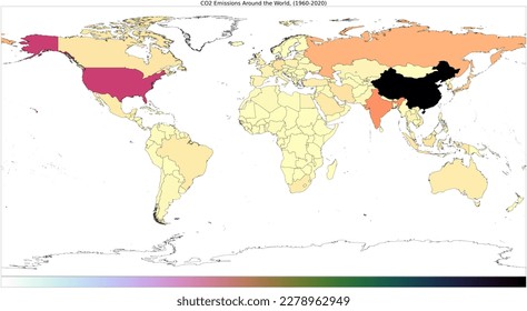
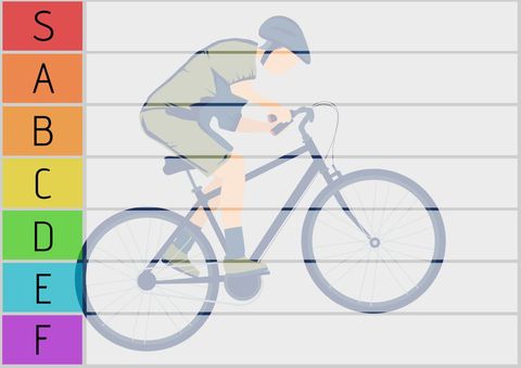
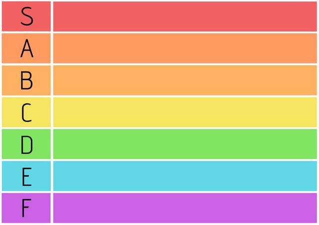
Educational tool showcasing a world map with energy efficiency labels using a gradient from red to green. Highlights regions with varying environmental standards globally. Effective for presentations focusing on climate impact, illustrating geographical differences in energy policies, or teaching eco-friendly practices in classrooms and awareness programs. Ideal for enhancing storytelling in sustainability workshops or climate change projects.
Powered by  - Get 15% off with code: PIKWIZARD15


downloads
Tags:
More
Credit Photo
If you would like to credit the Photo, here are some ways you can do so
Text Link
template Link
<span class="text-link">
<span>
<a target="_blank" href=https://pikwizard.com/template/color-coded-world-map-with-energy-efficiency-ratings/3d8d0f45acb717b21c2329a9419876ef/>PikWizard</a>
</span>
</span>
<span class="image-link">
<span
style="margin: 0 0 20px 0; display: inline-block; vertical-align: middle; width: 100%;"
>
<a
target="_blank"
href="https://pikwizard.com/template/color-coded-world-map-with-energy-efficiency-ratings/3d8d0f45acb717b21c2329a9419876ef/"
style="text-decoration: none; font-size: 10px; margin: 0;"
>
<img src="https://pikwizard.com/pw/medium/3d8d0f45acb717b21c2329a9419876ef.jpg" style="margin: 0; width: 100%;" alt="" />
<p style="font-size: 12px; margin: 0;">PikWizard</p>
</a>
</span>
</span>
Free (free of charge)
Free for personal and commercial use.
Author: People Creations
Similar Free Templates


Premium


Premium

Premium


Premium


Premium


Premium


Premium


Premium


Premium


Premium


Premium


Premium


Premium


Premium


Premium


Premium


Premium


Premium


Premium


Premium


Premium


Premium


Premium


Premium


Premium


Explore More Free Templates