- Home >
- Stock Templates >
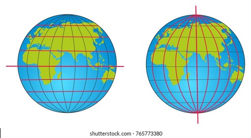
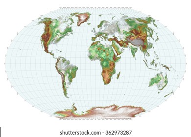
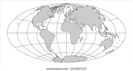
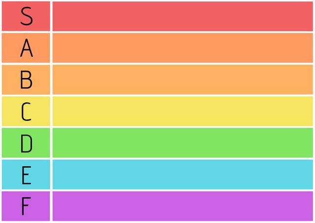
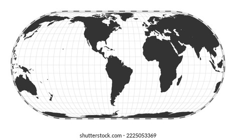
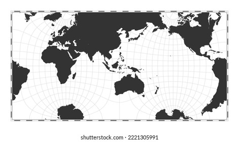
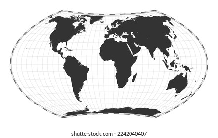
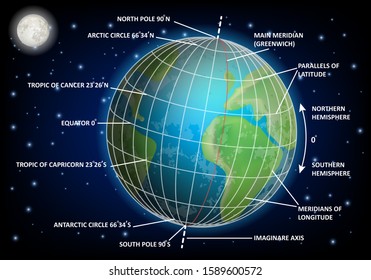
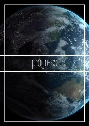
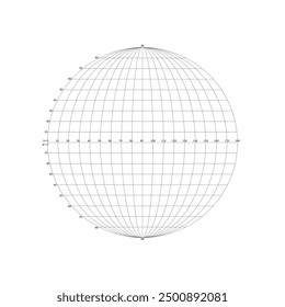
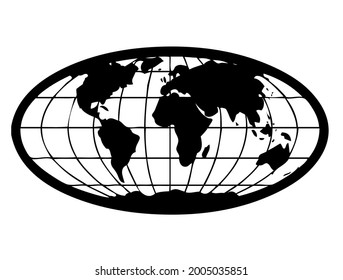
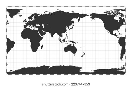
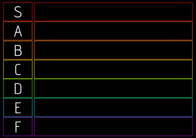
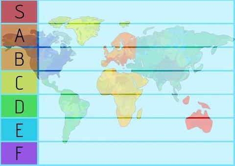
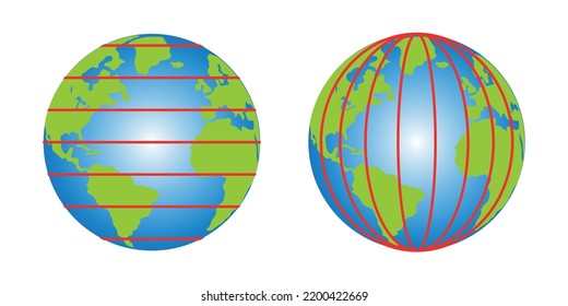
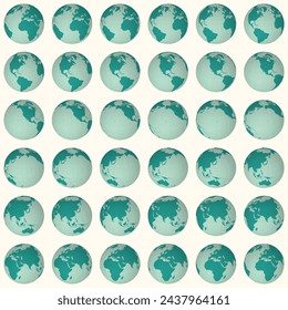
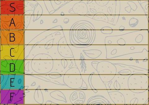
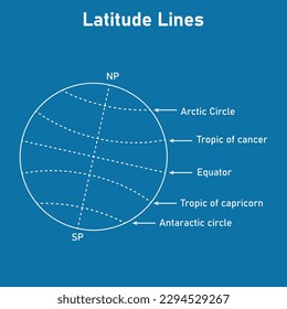
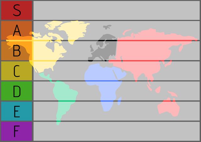
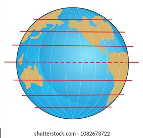
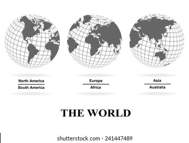
- World Map with Colorful Latitude Lines for Geographic Education
World Map with Colorful Latitude Lines for Geographic Education Template
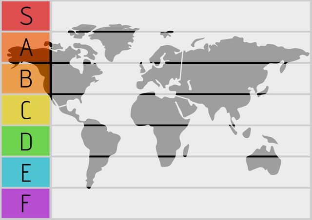
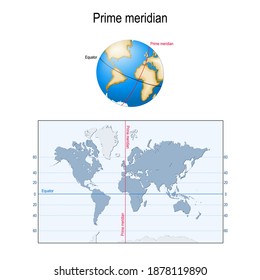
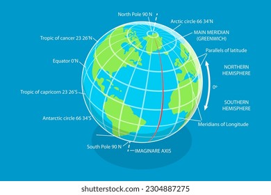
Educational world map featuring labeled latitude lines in various colors makes geographic concepts easily understandable for learners. Perfect for classrooms, teaching resources, or presentations focusing on global geography. Enhances visual learning and helps students understand location relationships across continents.
Powered by  - Get 15% off with code: PIKWIZARD15

downloads
Tags:
More
Credit Photo
If you would like to credit the Photo, here are some ways you can do so
Text Link
template Link
<span class="text-link">
<span>
<a target="_blank" href=https://pikwizard.com/template/world-map-with-colorful-latitude-lines-for-geographic-education/4cf16bf5c1ad5ea8e35802f145b3e07d/>PikWizard</a>
</span>
</span>
<span class="image-link">
<span
style="margin: 0 0 20px 0; display: inline-block; vertical-align: middle; width: 100%;"
>
<a
target="_blank"
href="https://pikwizard.com/template/world-map-with-colorful-latitude-lines-for-geographic-education/4cf16bf5c1ad5ea8e35802f145b3e07d/"
style="text-decoration: none; font-size: 10px; margin: 0;"
>
<img src="https://pikwizard.com/pw/medium/4cf16bf5c1ad5ea8e35802f145b3e07d.jpg" style="margin: 0; width: 100%;" alt="" />
<p style="font-size: 12px; margin: 0;">PikWizard</p>
</a>
</span>
</span>
Free (free of charge)
Free for personal and commercial use.
Author: Creative Art
Similar Free Templates
Loading...
Premium

Premium
Premium

Premium


Premium

Premium


Premium


Premium


Premium

Premium


Premium


Premium


Premium

Premium


Premium


Premium


Premium


Premium


Premium


Premium
Premium
Premium


Premium


Premium


Premium