
- Home >
- Stock Videos >
- Descending Aerial Scan Over Foggy Urban Grid with Blue Data Overlay, Vertical Drone Video
Descending Aerial Scan Over Foggy Urban Grid with Blue Data Overlay, Vertical Drone Video Video

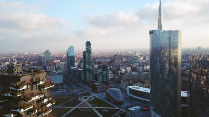
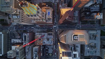
AI Generated Image. Descending vertical drone video over dense urban grid, revealing rooftops, streets, parked cars and thin smoke haze. Blue data overlay and horizontal scanlines adding glitch-tech aesthetic and digital map feel. High-angle motion blur creating sense of speed and surveillance mood. Use for technology backgrounds, smart-city and urban planning presentations, cybersecurity and surveillance concepts, futuristic commercials, sci-fi or thriller film sequences, title opens, social media vertical ads, app intros, website hero banners, broadcast graphics. Recommend color grading to enhance blue tones, adding HUD elements or animated data to emphasize tech narrative, and placing bold headline in top third for headline-safe composition. Clip offering flexible crop for 9:16 vertical format, delivering cinematic urban overview for mobile-first campaigns.
Powered by 


0
downloads
downloads
Tags:
More
Credit Photo
If you would like to credit the Photo, here are some ways you can do so
Text Link
video Link
<span class="text-link">
<span>
<a target="_blank" href=https://pikwizard.com/video/descending-aerial-scan-over-foggy-urban-grid-with-blue-data-overlay-vertical-drone-video/e4f8a93aa5a898a2671431a01e922194/>PikWizard</a>
</span>
</span>
<span class="image-link">
<span
style="margin: 0 0 20px 0; display: inline-block; vertical-align: middle; width: 100%;"
>
<a
target="_blank"
href="https://pikwizard.com/video/descending-aerial-scan-over-foggy-urban-grid-with-blue-data-overlay-vertical-drone-video/e4f8a93aa5a898a2671431a01e922194/"
style="text-decoration: none; font-size: 10px; margin: 0;"
>
<video controls style="width: 100%; margin: 0;">
<source src="https://player.vimeo.com/progressive_redirect/playback/1143241858/rendition/240p/file.mp4%20%28240p%29.mp4?loc=external&oauth2_token_id=1223210874&signature=d10673c8399f1fcb78167acb3b410ed51480808af0ac832fd8b60d4d667fd684" type="video/mp4"
poster="https://pikwizard.com/pw/medium/e4f8a93aa5a898a2671431a01e922194.jpg"/>
Your browser does not support the video tag.
</video>
<p style="font-size: 12px; margin: 0;">PikWizard</p>
</a>
</span>
</span>
Free (free of charge)
Free for personal and commercial use.
Author: AI Creator