 - Get 15% off with code: PIKWIZARD15
- Home >
- Stock Videos >
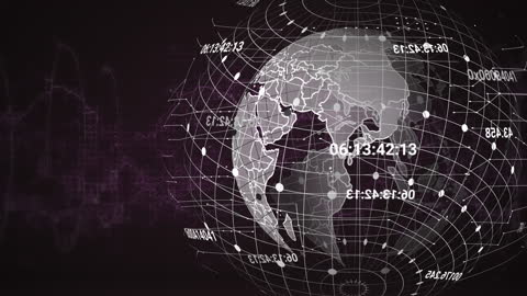
- Digital Globe with Data Latitude Lines Modern Design
Digital Globe with Data Latitude Lines Modern Design Video

Image depicts a digital representation of Earth with visible latitude and longitude lines. Impresses a sense of modern and futuristic technology with data-driven concepts, making it ideal for illustrating global networks and international data processing scenarios. Could be used in articles or presentations related to emerging technologies, renewable global energies, digital conversion, big data, or statewide access to digital documentation.
downloads
Tags:
More
Credit Photo
If you would like to credit the Photo, here are some ways you can do so
Text Link
video Link
<span class="text-link">
<span>
<a target="_blank" href=https://pikwizard.com/video/digital-globe-with-data-latitude-lines-modern-design/e3ccf217327f7aaf5b772e2867701852/>PikWizard</a>
</span>
</span>
<span class="image-link">
<span
style="margin: 0 0 20px 0; display: inline-block; vertical-align: middle; width: 100%;"
>
<a
target="_blank"
href="https://pikwizard.com/video/digital-globe-with-data-latitude-lines-modern-design/e3ccf217327f7aaf5b772e2867701852/"
style="text-decoration: none; font-size: 10px; margin: 0;"
>
<video controls style="width: 100%; margin: 0;">
<source src="https://player.vimeo.com/progressive_redirect/playback/723611957/rendition/240p/file.mp4?loc=external&oauth2_token_id=1223210874&signature=68b74d4255e509761d345505a1712d6a466b6ee652b6a46b99776b235e5867ba" type="video/mp4"
poster="https://pikwizard.com/pw/medium/e3ccf217327f7aaf5b772e2867701852.jpg"/>
Your browser does not support the video tag.
</video>
<p style="font-size: 12px; margin: 0;">PikWizard</p>
</a>
</span>
</span>
Free (free of charge)
Free for personal and commercial use.
Author: Awesome Content
Similar Free Stock Videos
Loading...


