
- Home >
- Stock Videos >
- Traveler checking map in financial district plaza scanning skyline for directions
Traveler checking map in financial district plaza scanning skyline for directions Video
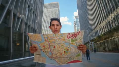
AI Generated Image. Video showing traveler checking map in urban financial district plaza, scanning skyline for directions. Featuring hands holding unfolded city map with marked routes and location pins, framed by towering office towers and clear blue sky. Serving well for travel blog headers, navigation app promos, tourism campaign hero clips, wayfinding tutorials, urban lifestyle features, social media travel reels. Providing clear focal area for overlaying text, logo, UI elements, or animated route graphics. Shot elements include subject-centered medium close-up, strong vertical lines from skyscrapers, sidewalk perspective, natural daylight and shallow depth of field for subject emphasis. Working well for travel agencies, tour operators, mapping software demos, city guide videos, digital marketing, editorial features, and presentation slides.
Powered by  - Get 15% off with code: PIKWIZARD15


0
downloads
downloads
Tags:
More
Credit Photo
If you would like to credit the Photo, here are some ways you can do so
Text Link
video Link
<span class="text-link">
<span>
<a target="_blank" href=https://pikwizard.com/video/traveler-checking-map-in-financial-district-plaza-scanning-skyline-for-directions/092c4cacb37c79b049c733a05e32ae6d/>PikWizard</a>
</span>
</span>
<span class="image-link">
<span
style="margin: 0 0 20px 0; display: inline-block; vertical-align: middle; width: 100%;"
>
<a
target="_blank"
href="https://pikwizard.com/video/traveler-checking-map-in-financial-district-plaza-scanning-skyline-for-directions/092c4cacb37c79b049c733a05e32ae6d/"
style="text-decoration: none; font-size: 10px; margin: 0;"
>
<video controls style="width: 100%; margin: 0;">
<source src="https://player.vimeo.com/progressive_redirect/playback/1142352670/rendition/240p/file.mp4?loc=external&oauth2_token_id=1223210874&signature=65291898e5bec6cf0a91e5055e54cd4e66becf8aeebd321da63c69ecf783bb64" type="video/mp4"
poster="https://pikwizard.com/pw/medium/092c4cacb37c79b049c733a05e32ae6d.jpg"/>
Your browser does not support the video tag.
</video>
<p style="font-size: 12px; margin: 0;">PikWizard</p>
</a>
</span>
</span>
Free (free of charge)
Free for personal and commercial use.
Author: AI Creator