Free Urban Graph Overlay Images Collection
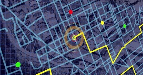
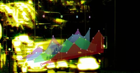
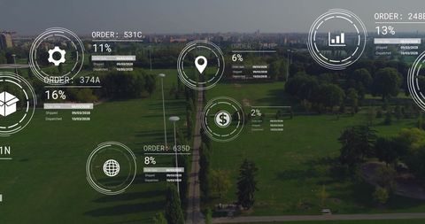
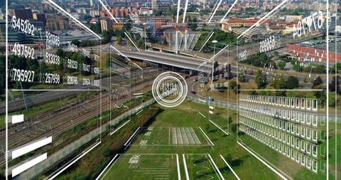
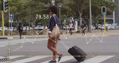
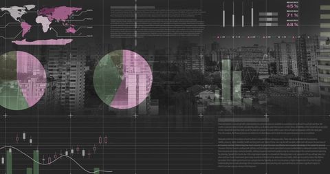
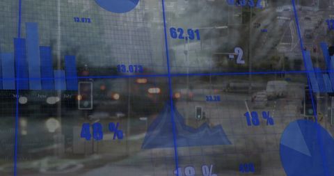
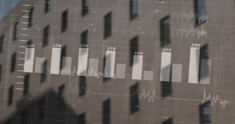
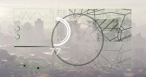
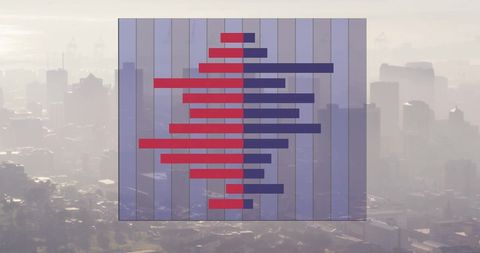
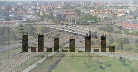
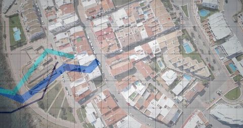
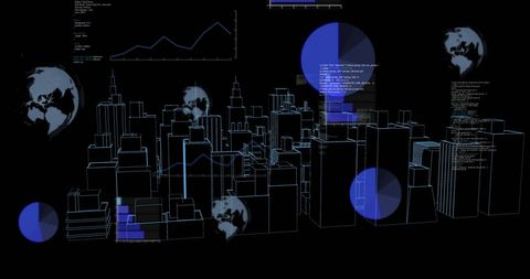
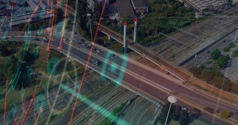
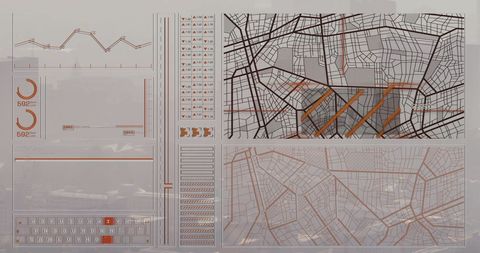
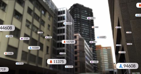
Urban Graph Overlay presents a dynamic photos collection that merges futuristic digital interfaces with modern urban landscapes to showcase business growth and data analytics. This premium stock offers a vibrant photos display, blending creative digital overlays with urban connectivity and financial visualization. Enjoy a professional, high-quality collection designed to elevate marketing campaigns and creative projects with innovative visual storytelling.