
- Home >
- Free Stock Videos >
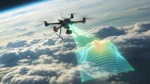
- Autonomous hexacopter mapping cloud-covered terrain with holographic LiDAR grid
Autonomous hexacopter mapping cloud-covered terrain with holographic LiDAR grid Free Stock Video
AI
AI Generated Video. Video showing autonomous hexacopter hovering above dense cloud deck while projecting holographic LiDAR grid and mapping underlying terrain in real time. Bright green scan lines revealing elevation peaks and data points, illustrating 3D topography capture and spatial analysis workflow. Useful for drone technology presentations, geospatial software demos, environmental monitoring reports, search and rescue planning, disaster mapping and infrastructure inspection. Use as hero motion art for websites, opening sequence for corporate videos, product demo clips, social media reels, or editorial content about remote sensing and UAV innovation. Suggest leaving negative space in top-left quadrant for logo or headline text and enhancing holographic glow with subtle color grading for cinematic impact.
Powered by  - Get 15% off with code: PIKWIZARD15


downloads
Tags:
More
Credit Photo
If you would like to credit the Photo, here are some ways you can do so
Text Link
video Link
<span class="text-link">
<span>
<a target="_blank" href=https://pikwizard.com/video/autonomous-hexacopter-mapping-cloud-covered-terrain-with-holographic-lidar-grid/89542e65387bfd17be2e5c7d9fab44e8/>PikWizard</a>
</span>
</span>
<span class="image-link">
<span
style="margin: 0 0 20px 0; display: inline-block; vertical-align: middle; width: 100%;"
>
<a
target="_blank"
href="https://pikwizard.com/video/autonomous-hexacopter-mapping-cloud-covered-terrain-with-holographic-lidar-grid/89542e65387bfd17be2e5c7d9fab44e8/"
style="text-decoration: none; font-size: 10px; margin: 0;"
>
<video controls style="width: 100%; margin: 0;">
<source src="https://player.vimeo.com/progressive_redirect/playback/1183905503/rendition/240p/file.mp4%20%28240p%29.mp4?loc=external&oauth2_token_id=1223210874&signature=dddf1c43acd839eeb23c504bd30fe3285a94b54de4186604f752fb792d2550c0" type="video/mp4"
poster="https://thumbs.wbm.im/pw/medium/89542e65387bfd17be2e5c7d9fab44e8.jpg"/>
Your browser does not support the video tag.
</video>
<p style="font-size: 12px; margin: 0;">PikWizard</p>
</a>
</span>
</span>
Free (free of charge)
Free for personal and commercial use.
Author: AI Creator